Yajiwa night lights from space
Night Light of Yajiwa (Borno) from space (Nigeria) Src. Average luminocity for 10x10km area is 0% and for 50x50km: 0%.
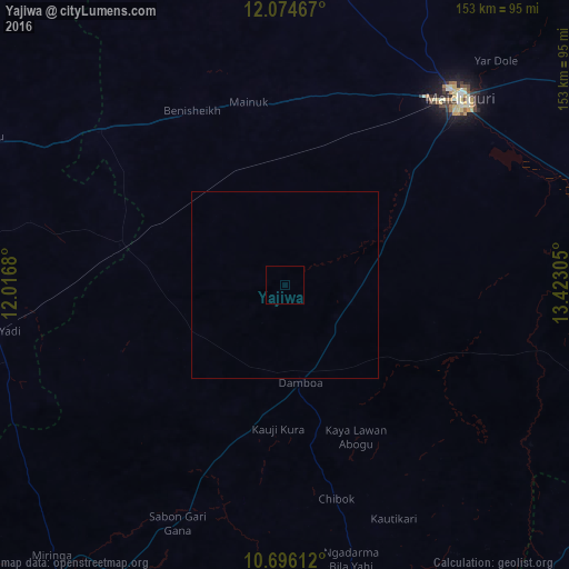
Analysis of Yajiwa night lights 2016
Square area 10x10 km:
100  0%
0%
90-99 0%
80-89 0%
70-79 0%
60-69 0%
50-59 0%
40-49 0%
30-39 0%
20-29 0%
10-19 0%
0-9 100%
0%90-99
0%80-89
0%70-79
0%60-69
0%50-59
0%40-49
0%30-39
0%20-29
0%10-19
0%0-9
100%Square area 50x50 km:
100 0%
90-99 0%
80-89 0%
70-79 0%
60-69 0%
50-59 0%
40-49 0%
30-39 0%
20-29 0%
10-19 0%
0-9 100%
0%90-99
0%80-89
0%70-79
0%60-69
0%50-59
0%40-49
0%30-39
0%20-29
0%10-19
0%0-9
100%Clear (daylight) street map image can be seen on geolist.org.
Map coordinates:
12° 4' 28.8" North, 12° 1' 0.5" East
11° 23' 10.4" North, 12° 43' 11.7" East
10° 41' 46" North, 13° 25' 23" East
Some cities around Yajiwa sort by population:
• Maiduguri
69.9 km =43.4 mi,  42°
42°
• Damboa
26 km =16.2 mi,  171°
171°
• Magumeri
81.8 km =50.8 mi,  8°
8°
• Konduga
81.6 km =50.7 mi,  68°
68°
• Goniri
45.7 km =28.4 mi,  283°
283°
• Benisheikh
53.2 km =33.1 mi,  332°
332°
• Tokombere
85.7 km =53.3 mi,  102°
102°
• Dankalwa
70.5 km =43.8 mi,  304°
304°
2318480 (p: 6,880)
Sources (retrieved 2019-11-25):
» Earth at Night: Flat Maps 2012, 2016