Buguma night lights from space
Night Light of Buguma (Rivers) from space (Nigeria) Src. Average luminocity for 10x10km area is 0.9897% and for 50x50km: 29.7072%.
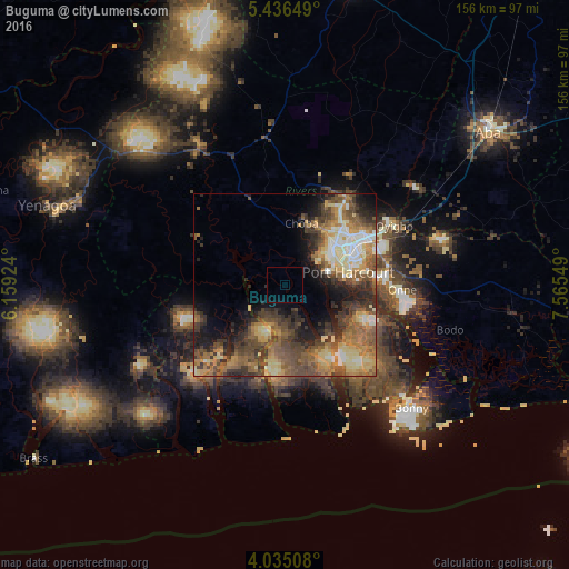
Analysis of Buguma night lights 2016
Square area 10x10 km:
 0%
0%90-99
0%80-89
0%70-79
0%60-69
0%50-59
0%40-49
0%30-39
0%20-29
0.41%10-19
0%0-9
99.59%Square area 50x50 km:
2.1%90-99
3.64%80-89
5.37%70-79
4.6%60-69
6.04%50-59
6.95%40-49
7.21%30-39
6.04%20-29
6.28%10-19
8.09%0-9
43.66%Clear (daylight) street map image can be seen on geolist.org.
Map coordinates:
5° 26' 11.4" North, 6° 9' 33.3" East
4° 44' 10.1" North, 6° 51' 44.5" East
4° 2' 6.3" North, 7° 33' 55.8" East
Some cities around Buguma sort by population:
• Port Harcourt
17.4 km =10.8 mi,  74°
74°
• Okrika
24.5 km =15.2 mi,  88°
88°
• Obonoma
8.4 km =5.2 mi,  250°
250°
• Elele
40.9 km =25.4 mi,  352°
352°
• Degema Hulk
12.8 km =8 mi,  282°
282°
• Bonny
46.6 km =29 mi,  132°
132°
• Ahoada
45.2 km =28.1 mi,  328°
328°
• Bori
56.1 km =34.9 mi,  96°
96°
2346615 (p: 135,404)
Sources (retrieved 2019-11-25):
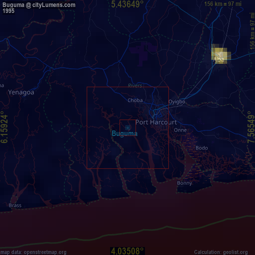
» NASA, Earths city lights 1995
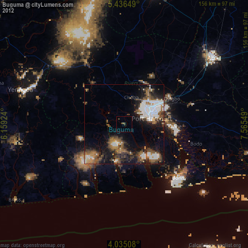
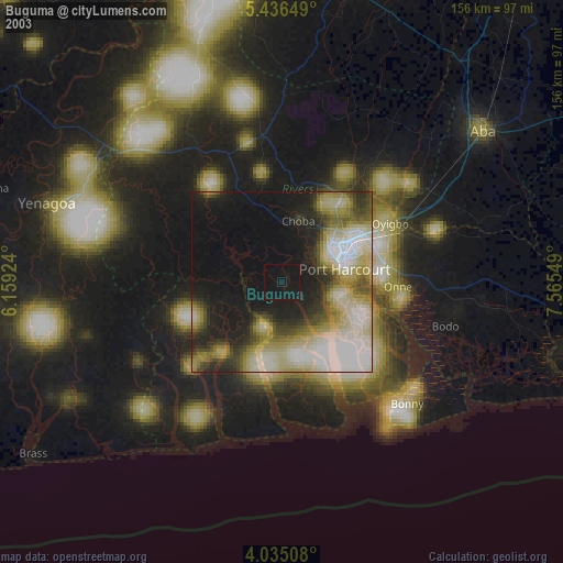
» NASA city lights 2003
» Earth at Night: Flat Maps 2012, 2016