Aba night lights from space
Night Light of Aba (Abia) from space (Nigeria) Src. Average luminocity for 10x10km area is 51.7872% and for 50x50km: 4.6121%.
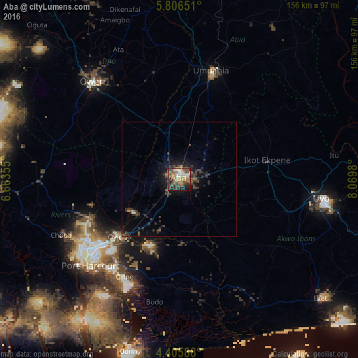

Analysis of Aba night lights 2016
Square area 10x10 km:
 0.62%
0.62%90-99
14.46%80-89
3.1%70-79
8.88%60-69
13.43%50-59
8.26%40-49
13.84%30-39
14.26%20-29
9.09%10-19
13.64%0-9
0.41%Square area 50x50 km:
0.04%90-99
0.68%80-89
0.17%70-79
0.41%60-69
0.7%50-59
0.67%40-49
1.34%30-39
1.7%20-29
1.64%10-19
3.69%0-9
88.97%Clear (daylight) street map image can be seen on geolist.org.
Map coordinates:
5° 48' 23.4" North, 6° 39' 48.8" East
5° 6' 23.7" North, 7° 22' 0" East
4° 24' 21.2" North, 8° 4' 11.3" East
Some cities around Aba sort by population:
• Port Harcourt
53.6 km =33.3 mi,  226°
226°
• Umuahia
48.6 km =30.2 mi,  16°
16°
• Ikot Ekpene
39.5 km =24.5 mi,  77°
77°
• Owerri
55.9 km =34.7 mi,  318°
318°
• Okrika
51.2 km =31.8 mi,  217°
217°
• Bende
58.3 km =36.2 mi,  30°
30°
• Abak
48.8 km =30.3 mi,  106°
106°
• Bori
47.8 km =29.7 mi,  180°
180°
2353151 (p: 897,560)
Sources (retrieved 2019-11-25):
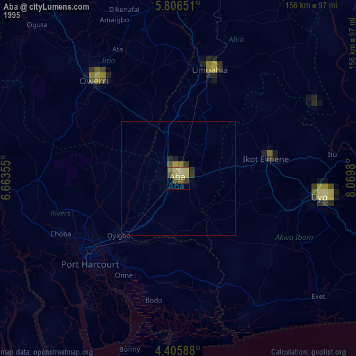
» NASA, Earths city lights 1995
» NASA city lights 2003
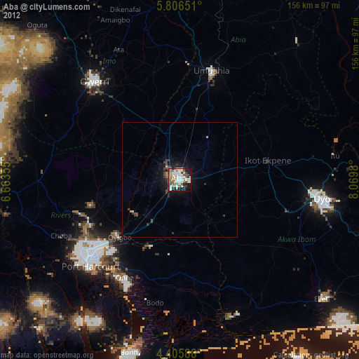
» Earth at Night: Flat Maps 2012, 2016