Sungai Besar night lights from space
Night Light of Sungai Besar (Selangor) from space (Malaysia) Src. Average luminocity for 10x10km area is 25.7879% and for 50x50km: 4.8559%.
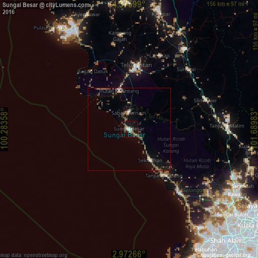
Analysis of Sungai Besar night lights 2016
Square area 10x10 km:
 2.38%
2.38%90-99
2.81%80-89
3.25%70-79
3.68%60-69
1.73%50-59
4.55%40-49
9.31%30-39
2.16%20-29
2.6%10-19
32.9%0-9
34.63%Square area 50x50 km:
0.29%90-99
0.34%80-89
0.26%70-79
0.29%60-69
0.69%50-59
1.14%40-49
1.77%30-39
0.93%20-29
1.04%10-19
3.25%0-9
90.01%Clear (daylight) street map image can be seen on geolist.org.
Map coordinates:
4° 22' 33.6" North, 100° 17' 0.9" East
3° 40' 28.6" North, 100° 59' 12.1" East
2° 58' 21.6" North, 101° 41' 23.4" East
Some cities around Sungai Besar sort by population:
• Teluk Intan
38.8 km =24.1 mi,  5°
5°
• Kampong Dungun
62.7 km =39 mi,  144°
144°
• Kuala Selangor
46.4 km =28.8 mi, 141°
• Bidur
59.2 km =36.8 mi,  33°
33°
• Tapah Road
59.6 km =37 mi,  23°
23°
• Batang Berjuntai
57.7 km =35.9 mi,  124°
124°
• Sabak Bernam
10.6 km =6.6 mi,  0°
0°
• Kampung Tanjung Karang
35.5 km =22.1 mi, 141°
1735199 (p: 26,939)
Sources (retrieved 2019-11-25):
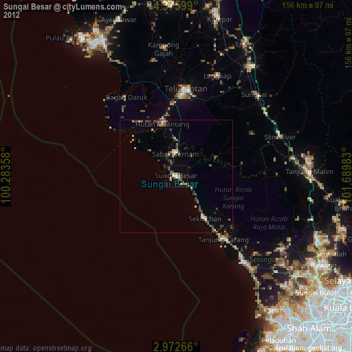
» Earth at Night: Flat Maps 2012, 2016