Uruapan night lights from space
Night Light of Uruapan (Michoacán) from space (Mexico) Src. Average luminocity for 10x10km area is 66.0868% and for 50x50km: 5.2525%.
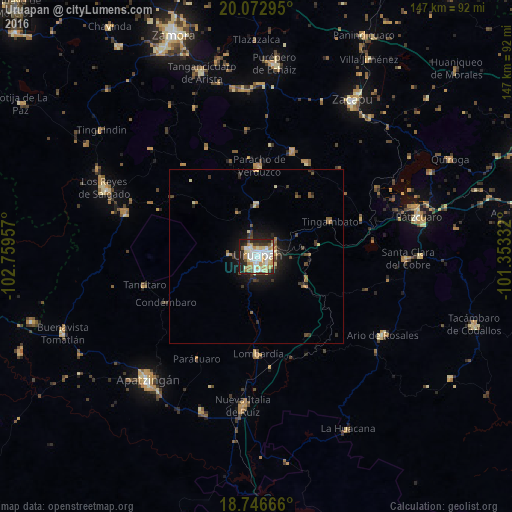
Analysis of Uruapan night lights 2016
Square area 10x10 km:
 15.7%
15.7%90-99
17.98%80-89
12.6%70-79
10.33%60-69
5.37%50-59
1.65%40-49
7.64%30-39
4.13%20-29
17.36%10-19
7.23%0-9
0%Square area 50x50 km:
0.62%90-99
0.8%80-89
0.93%70-79
0.54%60-69
0.59%50-59
0.41%40-49
0.88%30-39
0.84%20-29
1.58%10-19
3.38%0-9
89.42%Clear (daylight) street map image can be seen on geolist.org.
Map coordinates:
20° 4' 22.6" North, 102° 45' 34.5" West
19° 24' 40.2" North, 102° 3' 23.2" West
18° 44' 48" North, 101° 21' 12" West
Some cities around Uruapan sort by population:
• Paracho de Verduzco
26.3 km =16.3 mi,  1°
1°
• Nuevo San Juan Parangaricutiro
7.8 km =4.8 mi,  276°
276°
• Lombardía
28.1 km =17.5 mi,  178°
178°
• Tingambato
23.5 km =14.6 mi,  64°
64°
• Capácuaro
15.2 km =9.4 mi, 1°
• Taretán
16.8 km =10.4 mi,  120°
120°
• Angahuán
23.4 km =14.5 mi,  310°
310°
• Caltzontzín
5.4 km =3.4 mi,  75°
75°
3980760 (p: 264,439)
Sources (retrieved 2019-11-25):
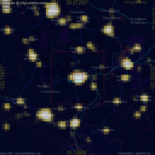
» NASA, Earths city lights 1995
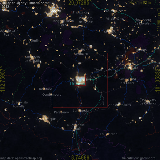
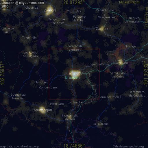
» NASA city lights 2003
» Earth at Night: Flat Maps 2012, 2016