Tepic night lights from space
Night Light of Tepic (Nayarit) from space (Mexico) Src. Average luminocity for 10x10km area is 64.8542% and for 50x50km: 6.1631%.
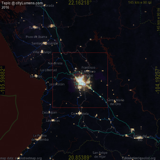
Analysis of Tepic night lights 2016
Square area 10x10 km:
 14.96%
90-99
18.94%80-89
13.45%70-79
6.06%60-69
4.92%50-59
3.22%40-49
7.58%30-39
6.44%20-29
16.29%10-19
8.14%0-9
0%Square area 50x50 km:
0.73%90-99
0.98%80-89
1.17%70-79
0.75%60-69
0.59%50-59
0.5%40-49
1.16%30-39
1.08%20-29
1.78%10-19
4.02%0-9
87.25%Clear (daylight) street map image can be seen on geolist.org.
Map coordinates:
22° 9' 43.8" North, 105° 35' 55.8" West
21° 30' 34.2" North, 104° 53' 44.5" West
20° 51' 14" North, 104° 11' 33.3" West
Some cities around Tepic sort by population:
• Xalisco
6.5 km =4 mi,  182°
182°
• Santiago Ixcuintla
46.7 km =29 mi,  316°
316°
• Compostela
30.2 km =18.8 mi, 180°
• Las Varas
44.3 km =27.5 mi,  214°
214°
• San Blas
40.5 km =25.2 mi,  275°
275°
• Villa Hidalgo
43.2 km =26.8 mi,  306°
306°
• Francisco I. Madero
11.3 km =7 mi,  44°
44°
• Puga
11.2 km =7 mi, 41°
3981941 (p: 332,863)
Sources (retrieved 2019-11-25):
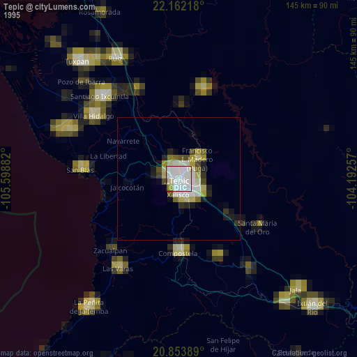
» NASA, Earths city lights 1995
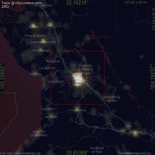
» NASA city lights 2003
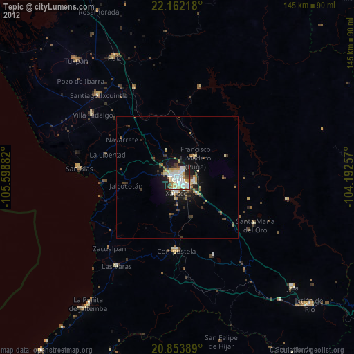
» Earth at Night: Flat Maps 2012, 2016