Tulancingo night lights from space
Night Light of Tulancingo (Hidalgo) from space (Mexico) Src. Average luminocity for 10x10km area is 62.0873% and for 50x50km: 12.7403%.
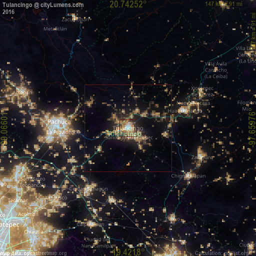
Analysis of Tulancingo night lights 2016
Square area 10x10 km:
 4.96%
4.96%90-99
9.92%80-89
6.35%70-79
17.06%60-69
23.61%50-59
7.54%40-49
10.52%30-39
9.72%20-29
9.33%10-19
0.99%0-9
0%Square area 50x50 km:
0.22%90-99
0.51%80-89
1.38%70-79
2.01%60-69
2.91%50-59
1.71%40-49
3.47%30-39
3.63%20-29
4.21%10-19
8.85%0-9
71.11%Clear (daylight) street map image can be seen on geolist.org.
Map coordinates:
20° 44' 33.1" North, 99° 3' 57.6" West
20° 5' 0.8" North, 98° 21' 46.4" West
19° 25' 18.5" North, 97° 39' 35.1" West
Some cities around Tulancingo sort by population:
• Huauchinango
33.7 km =20.9 mi,  72°
72°
• Cuautepec de Hinojosa
7.7 km =4.8 mi,  134°
134°
• Santiago Tulantepec
5.3 km =3.3 mi,  171°
171°
• Mineral del Monte
33 km =20.5 mi,  280°
280°
• Jaltepec
6.7 km =4.2 mi,  302°
302°
• Javier Rojo Gómez
5.9 km =3.7 mi,  254°
254°
• Parque Urbano Napateco
7 km =4.3 mi,  19°
19°
• Santa Ana Hueytlalpan
11.5 km =7.1 mi,  27°
27°
3515062 (p: 102,406)
Sources (retrieved 2019-11-25):
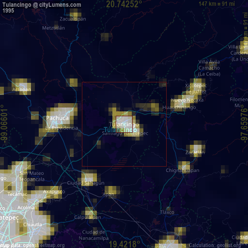
» NASA, Earths city lights 1995
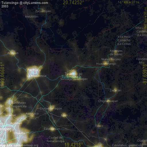
» NASA city lights 2003
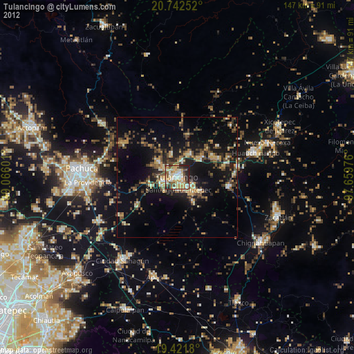
» Earth at Night: Flat Maps 2012, 2016