Tomatlán night lights from space
Night Light of Tomatlán (Jalisco) from space (Mexico) Src. Average luminocity for 10x10km area is 3.3831% and for 50x50km: 0.2922%.
Analysis of Tomatlán night lights 2016
Square area 10x10 km:
 0%
0%90-99
0%80-89
0.87%70-79
1.73%60-69
0%50-59
0.87%40-49
0%30-39
0%20-29
1.52%10-19
1.08%0-9
93.94%Square area 50x50 km:
0%90-99
0%80-89
0.03%70-79
0.07%60-69
0.03%50-59
0.07%40-49
0.12%30-39
0.11%20-29
0.06%10-19
0.14%0-9
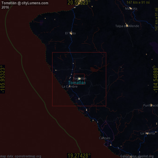
99.38%Clear (daylight) street map image can be seen on geolist.org.
Map coordinates:
20° 35' 46.4" North, 105° 57' 11.6" West
19° 56' 11.9" North, 105° 15' 0.4" West
19° 16' 27.4" North, 104° 32' 49.1" West
Some cities around Tomatlán sort by population:
• Puerto Vallarta
75.7 km =47 mi,  1°
1°
• Ixtapa
86.8 km =53.9 mi, 3°
• Las Juntas
85 km =52.8 mi, 0°
• Talpa de Allende
66.6 km =41.4 mi,  42°
42°
• Mascota
81.4 km =50.6 mi, 36°
• La Huerta
81 km =50.3 mi,  128°
128°
• Las Jarretaderas
84.1 km =52.3 mi,  358°
358°
• Las Juntas
80 km =49.7 mi, 134°
3981391 (p: 9,026)
Sources (retrieved 2019-11-25):
» Earth at Night: Flat Maps 2012, 2016