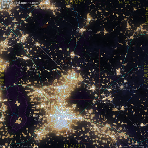
Tetla night lights from space
Night Light of Tetla (Tlaxcala) from space (Mexico) Src. Average luminocity for 10x10km area is 65.564% and for 50x50km: 27.2445%.
Analysis of Tetla night lights 2016
Square area 10x10 km:
 7.44%
7.44%90-99
11.16%80-89
16.12%70-79
13.43%60-69
17.36%50-59
7.64%40-49
5.17%30-39
5.37%20-29
14.67%10-19
1.65%0-9
0%Square area 50x50 km:
1.49%90-99
2.4%80-89
7.59%70-79
6.05%60-69
5.04%50-59
3.36%40-49
5.21%30-39
3.18%20-29
4.07%10-19
11.74%0-9
49.87%Clear (daylight) street map image can be seen on geolist.org.
Map coordinates:
20° 6' 13.3" North, 98° 48' 23" West
19° 26' 31.3" North, 98° 6' 11.7" West
18° 46' 39.6" North, 97° 24' 0.5" West
Some cities around Tetla sort by population:
• Apizaco
5.3 km =3.3 mi,  232°
232°
• Xaloztoc
7.1 km =4.4 mi,  122°
122°
• San Andrés Ahuashuatepec
7.1 km =4.4 mi,  182°
182°
• Zimatepec
6.8 km =4.2 mi,  250°
250°
• Santa Anita Huiloac
7.3 km =4.5 mi,  215°
215°
• Santa María Texcalac
2.7 km =1.7 mi,  140°
140°
• San Luis Apizaquito
2.4 km =1.5 mi, 217°
• San José Tetel
6 km =3.7 mi,  260°
260°
3516919 (p: 15,161)
Sources (retrieved 2019-11-25):
» Earth at Night: Flat Maps 2012, 2016