Francisco I. Madero night lights from space
Night Light of Francisco I. Madero (Nayarit) from space (Mexico) Src. Average luminocity for 10x10km area is 6.9848% and for 50x50km: 6.1438%.
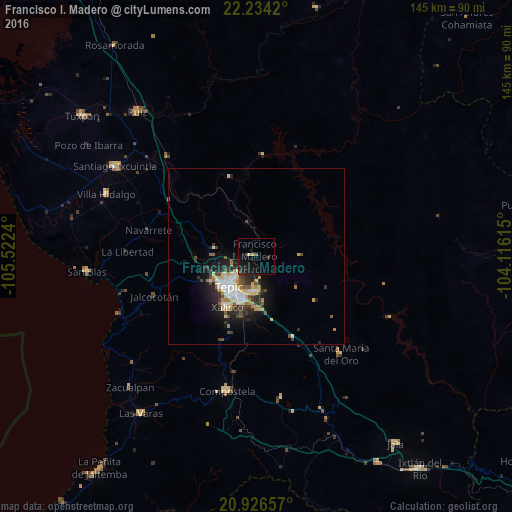
Analysis of Francisco I. Madero night lights 2016
Square area 10x10 km:
 0%
0%90-99
0%80-89
1.33%70-79
0.76%60-69
0%50-59
0.76%40-49
1.14%30-39
1.7%20-29
2.08%10-19
13.07%0-9
79.17%Square area 50x50 km:
0.73%90-99
0.98%80-89
1.2%70-79
0.78%60-69
0.57%50-59
0.53%40-49
0.99%30-39
1.04%20-29
1.85%10-19
3.98%0-9
87.36%Clear (daylight) street map image can be seen on geolist.org.
Map coordinates:
22° 14' 3.1" North, 105° 31' 20.6" West
21° 34' 54.7" North, 104° 49' 9.4" West
20° 55' 35.7" North, 104° 6' 58.1" West
Some cities around Francisco I. Madero sort by population:
• Tepic
11.3 km =7 mi,  224°
224°
• Xalisco
16.7 km =10.4 mi,  209°
209°
• Santiago Ixcuintla
47.7 km =29.6 mi,  302°
302°
• Compostela
39.2 km =24.4 mi,  192°
192°
• Ruíz
53 km =32.9 mi,  320°
320°
• San Blas
48.4 km =30.1 mi,  264°
264°
• Villa Hidalgo
46.1 km =28.6 mi,  292°
292°
• Puga
0.5 km =0.3 mi,  305°
305°
4006205 (p: 7,091)
Sources (retrieved 2019-11-25):
» Earth at Night: Flat Maps 2012, 2016