Tantoyuca night lights from space
Night Light of Tantoyuca (Veracruz) from space (Mexico) Src. Average luminocity for 10x10km area is 16.0133% and for 50x50km: 2.158%.
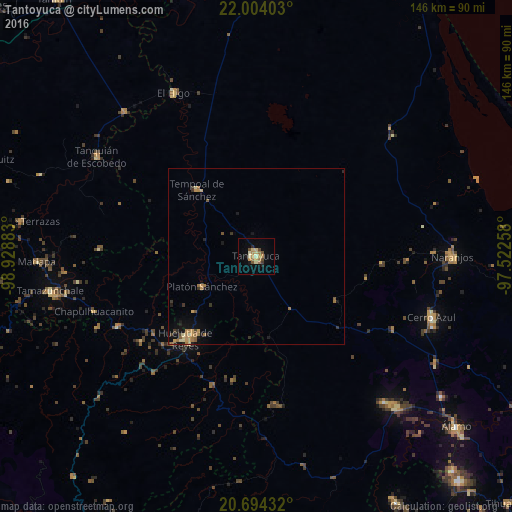
Analysis of Tantoyuca night lights 2016
Square area 10x10 km:
 0%
0%90-99
1.7%80-89
3.6%70-79
3.03%60-69
4.55%50-59
1.89%40-49
1.89%30-39
0.76%20-29
1.52%10-19
2.27%0-9
78.79%Square area 50x50 km:
0%90-99
0.1%80-89
0.36%70-79
0.52%60-69
0.69%50-59
0.29%40-49
0.16%30-39
0.4%20-29
0.27%10-19
0.92%0-9
96.29%Clear (daylight) street map image can be seen on geolist.org.
Map coordinates:
22° 0' 14.5" North, 98° 55' 43.8" West
21° 21' 2.3" North, 98° 13' 32.5" West
20° 41' 39.6" North, 97° 31' 21.3" West
Some cities around Tantoyuca sort by population:
• Huejutla de Reyes
30.8 km =19.1 mi,  220°
220°
• Tempoal de Sánchez
25.3 km =15.7 mi,  318°
318°
• Platón Sánchez
17.7 km =11 mi,  240°
240°
• San Felipe Orizatlán
44.3 km =27.5 mi, 243°
• Jaltocan
40.5 km =25.2 mi,  233°
233°
• Tepetzintla
43.9 km =27.3 mi,  118°
118°
• Tamalín
42.9 km =26.7 mi,  91°
91°
• Citlaltépec
36 km =22.4 mi, 93°
3516271 (p: 30,587)
Sources (retrieved 2019-11-25):
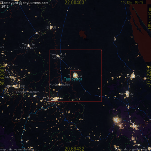
» Earth at Night: Flat Maps 2012, 2016