San Rafael night lights from space
Night Light of San Rafael (México) from space (Mexico) Src. Average luminocity for 10x10km area is 29.0931% and for 50x50km: 30.088%.
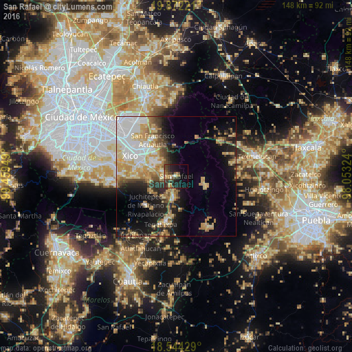
Analysis of San Rafael night lights 2016
Square area 10x10 km:
 1.08%
1.08%90-99
1.95%80-89
2.16%70-79
6.06%60-69
4.33%50-59
4.33%40-49
10.61%30-39
6.49%20-29
14.29%10-19
22.08%0-9
26.62%Square area 50x50 km:
6.11%90-99
4.64%80-89
5.18%70-79
5.64%60-69
4.27%50-59
2.29%40-49
3.52%30-39
2.68%20-29
5.9%10-19
11.95%0-9
47.83%Clear (daylight) street map image can be seen on geolist.org.
Map coordinates:
19° 52' 20" North, 99° 27' 34.2" West
19° 12' 34.5" North, 98° 45' 22.9" West
18° 32' 39.4" North, 98° 3' 11.7" West
Some cities around San Rafael sort by population:
• Amecameca
9.6 km =6 mi,  186°
186°
• San Martín Cuautlalpan
10.8 km =6.7 mi,  313°
313°
• Tlalmanalco
4.7 km =2.9 mi,  264°
264°
• Santa María Huexoculco
8.6 km =5.3 mi, 308°
• Miraflores
5.5 km =3.4 mi,  284°
284°
• Cocotitlán
11.8 km =7.3 mi, 282°
• Ayapango
10.3 km =6.4 mi,  206°
206°
• La Candelaria Tlapala
10.2 km =6.3 mi,  289°
289°
3517917 (p: 20,873)
Sources (retrieved 2019-11-25):
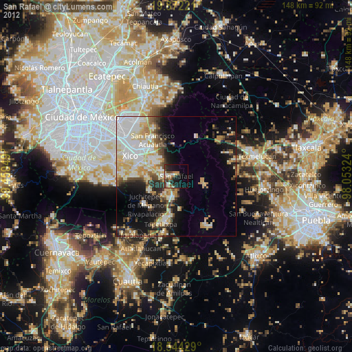
» Earth at Night: Flat Maps 2012, 2016