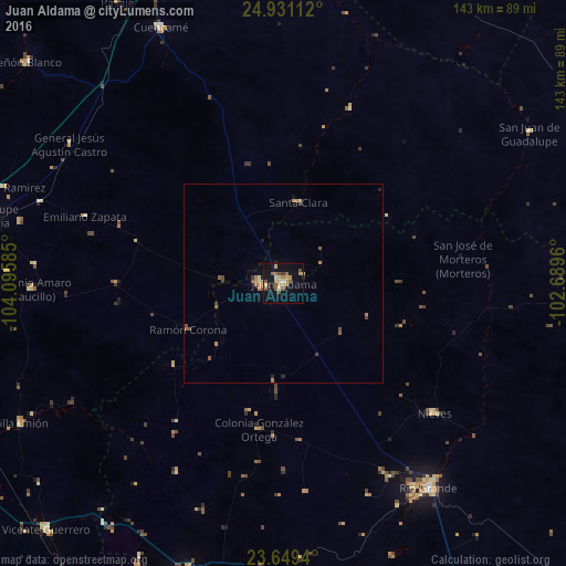
Juan Aldama night lights from space
Night Light of Juan Aldama (Zacatecas) from space (Mexico) Src. Average luminocity for 10x10km area is 21.8845% and for 50x50km: 1.7644%.
Analysis of Juan Aldama night lights 2016
Square area 10x10 km:
 0.19%
0.19%90-99
1.52%80-89
5.11%70-79
3.98%60-69
5.11%50-59
3.6%40-49
3.22%30-39
0.76%20-29
2.27%10-19
19.7%0-9
54.55%Square area 50x50 km:
0.01%90-99
0.12%80-89
0.27%70-79
0.38%60-69
0.38%50-59
0.38%40-49
0.37%30-39
0.11%20-29
0.22%10-19
0.94%0-9
96.83%Clear (daylight) street map image can be seen on geolist.org.
Map coordinates:
24° 55' 52" North, 104° 5' 45.1" West
24° 17' 30.8" North, 103° 23' 33.8" West
23° 38' 57.8" North, 102° 41' 22.6" West
Some cities around Juan Aldama sort by population:
• Río Grande
63.5 km =39.5 mi,  144°
144°
• Sombrerete
77.4 km =48.1 mi,  199°
199°
• Ciudad Guadalupe Victoria
75.7 km =47 mi,  282°
282°
• Miguel Auza
5.9 km =3.7 mi,  272°
272°
• Villa Unión
75.2 km =46.7 mi,  242°
242°
• Cuencamé de Ceniceros
71.4 km =44.4 mi,  334°
334°
• Nieves
50.1 km =31.1 mi,  131°
131°
• Sain Alto
80.4 km =50 mi,  169°
169°
4003804 (p: 15,431)
Sources (retrieved 2019-11-25):
» Earth at Night: Flat Maps 2012, 2016