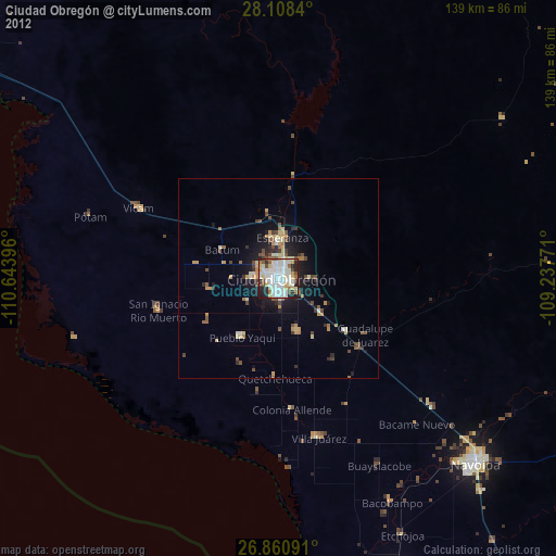
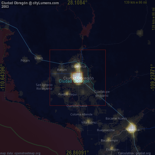
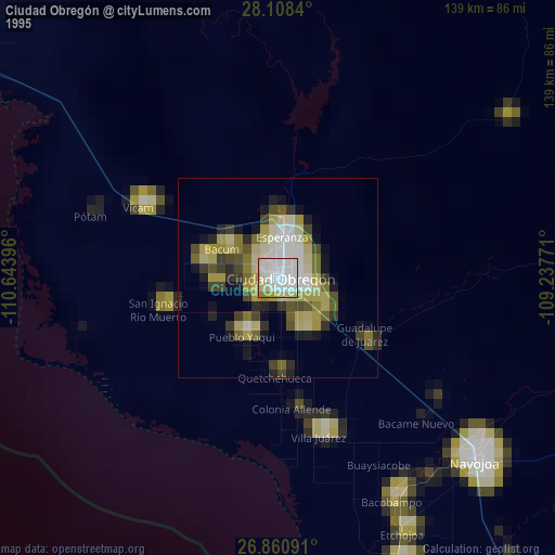
Ciudad Obregón night lights from space
Night Light of Ciudad Obregón (Sonora) from space (Mexico) Src. Average luminocity for 10x10km area is 78.3294% and for 50x50km: 7.9481%.

Analysis of Ciudad Obregón night lights 2016
Square area 10x10 km:
 24.6%
24.6%90-99
25.4%80-89
12.9%70-79
10.12%60-69
0.4%50-59
6.15%40-49
4.76%30-39
8.33%20-29
7.14%10-19
0.2%0-9
0%Square area 50x50 km:
1%90-99
1.11%80-89
1.3%70-79
1.15%60-69
0.62%50-59
1.06%40-49
1.23%30-39
1.2%20-29
2.43%10-19
4.35%0-9
84.55%Clear (daylight) street map image can be seen on geolist.org.
Map coordinates:
28° 6' 30.2" North, 110° 38' 38.3" West
27° 29' 11.1" North, 109° 56' 27" West
26° 51' 39.3" North, 109° 14' 15.8" West
Some cities around Ciudad Obregón sort by population:
• Esperanza
10.4 km =6.5 mi,  6°
6°
• Pueblo Yaqui
17.3 km =10.7 mi,  212°
212°
• El Tobarito
13.7 km =8.5 mi,  160°
160°
• Marte R. Gómez (Tobarito)
14.3 km =8.9 mi, 157°
• Cocorit
10 km =6.2 mi,  349°
349°
• San Ignacio Río Muerto
31.1 km =19.3 mi,  255°
255°
• Francisco Javier Mina
16.8 km =10.4 mi, 260°
• Campo Sesenta
16.2 km =10.1 mi, 255°
4013704 (p: 298,625)
Sources (retrieved 2019-11-25):
» NASA, Earths city lights 1995
» NASA city lights 2003
» Earth at Night: Flat Maps 2012, 2016