Loreto night lights from space
Night Light of Loreto (Zacatecas) from space (Mexico) Src. Average luminocity for 10x10km area is 35.1875% and for 50x50km: 7.451%.
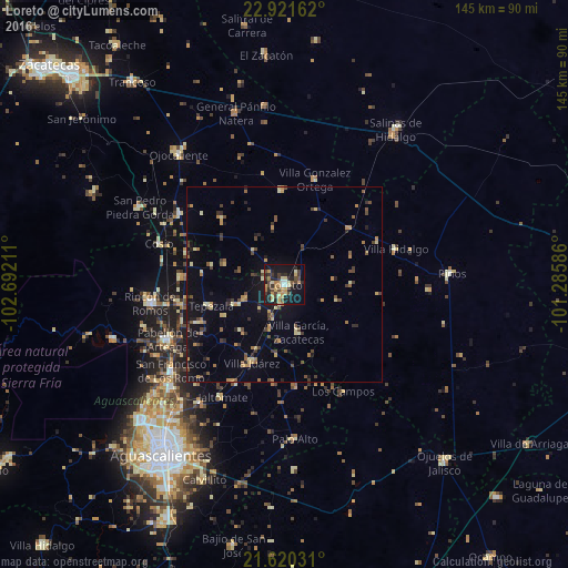
Analysis of Loreto night lights 2016
Square area 10x10 km:
 1.33%
1.33%90-99
2.84%80-89
7.95%70-79
8.52%60-69
3.98%50-59
1.14%40-49
9.09%30-39
7.2%20-29
11.93%10-19
32.01%0-9
14.02%Square area 50x50 km:
0.06%90-99
0.41%80-89
1.21%70-79
1.34%60-69
0.78%50-59
0.96%40-49
1.8%30-39
1.3%20-29
1.47%10-19
4.92%0-9
85.74%Clear (daylight) street map image can be seen on geolist.org.
Map coordinates:
22° 55' 17.8" North, 102° 41' 31.6" West
22° 16' 20.9" North, 101° 59' 20.3" West
21° 37' 13.1" North, 101° 17' 9.1" West
Some cities around Loreto sort by population:
• Pabellón de Arteaga
32.8 km =20.4 mi,  244°
244°
• Rincón de Romos
34.6 km =21.5 mi,  261°
261°
• San Francisco de los Romo
36.3 km =22.6 mi,  233°
233°
• San Pedro Piedra Gorda
41.8 km =26 mi,  297°
297°
• Villa García
12.8 km =8 mi,  164°
164°
• Luis Moya
32.1 km =19.9 mi, 303°
• Villa González Ortega
27.7 km =17.2 mi,  15°
15°
• Palo Alto
39.5 km =24.5 mi,  176°
176°
3998291 (p: 24,260)
Sources (retrieved 2019-11-25):
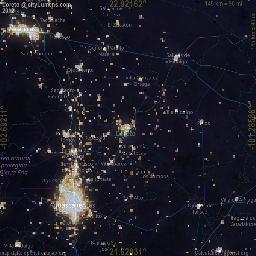
» Earth at Night: Flat Maps 2012, 2016