La Huacana night lights from space
Night Light of La Huacana (Michoacán) from space (Mexico) Src. Average luminocity for 10x10km area is 3.3398% and for 50x50km: 0.4181%.
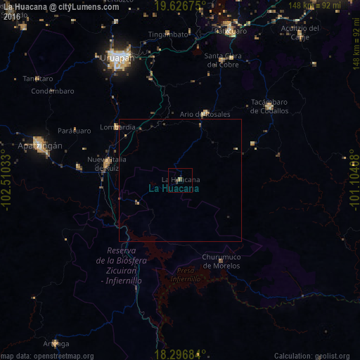
Analysis of La Huacana night lights 2016
Square area 10x10 km:
 0%
0%90-99
0%80-89
0.87%70-79
0%60-69
1.73%50-59
0%40-49
1.52%30-39
1.08%20-29
0%10-19
0.87%0-9
93.94%Square area 50x50 km:
0%90-99
0.02%80-89
0.05%70-79
0.08%60-69
0.13%50-59
0.02%40-49
0.16%30-39
0.11%20-29
0.07%10-19
0.1%0-9
99.26%Clear (daylight) street map image can be seen on geolist.org.
Map coordinates:
19° 37' 36.3" North, 102° 30' 37.2" West
18° 57' 47.2" North, 101° 48' 25.9" West
18° 17' 48.6" North, 101° 6' 14.7" West
Some cities around La Huacana sort by population:
• Nueva Italia de Ruiz
30.8 km =19.1 mi,  282°
282°
• Ario de Rosales
29.3 km =18.2 mi,  20°
20°
• Lombardía
33.6 km =20.9 mi,  310°
310°
• Antúnez (Morelos)
42.1 km =26.2 mi, 277°
• Antúnez
42.1 km =26.2 mi, 277°
• Puruarán
33.4 km =20.8 mi,  63°
63°
• Taretán
42.9 km =26.7 mi,  344°
344°
• Pedernales
40.7 km =25.3 mi, 60°
4001956 (p: 9,395)
Sources (retrieved 2019-11-25):
» Earth at Night: Flat Maps 2012, 2016