Jesús María night lights from space
Night Light of Jesús María (Aguascalientes) from space (Mexico) Src. Average luminocity for 10x10km area is 65.0992% and for 50x50km: 23.1212%.
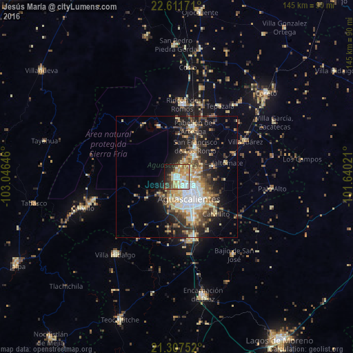
Analysis of Jesús María night lights 2016
Square area 10x10 km:
 13.29%
90-99
16.47%80-89
11.11%70-79
13.89%60-69
8.13%50-59
3.37%40-49
7.94%30-39
4.76%20-29
9.92%10-19
9.52%0-9
1.59%Square area 50x50 km:
3.86%90-99
3.63%80-89
3.58%70-79
3.83%60-69
2.32%50-59
2.63%40-49
4.29%30-39
3.25%20-29
6.11%10-19
9.76%0-9
56.74%Clear (daylight) street map image can be seen on geolist.org.
Map coordinates:
22° 36' 42.2" North, 103° 2' 47.3" West
21° 57' 40" North, 102° 20' 36" West
21° 18' 27.1" North, 101° 38' 24.8" West
Some cities around Jesús María sort by population:
• Aguascalientes
10.8 km =6.7 mi,  144°
144°
• Pabellón de Arteaga
21.7 km =13.5 mi,  18°
18°
• Rincón de Romos
29.8 km =18.5 mi,  4°
4°
• San Francisco de los Romo
14.9 km =9.3 mi,  29°
29°
• Villa Hidalgo
40.5 km =25.2 mi,  218°
218°
• Ojocaliente
35.7 km =22.2 mi,  254°
254°
• Palo Alto
39.4 km =24.5 mi,  96°
96°
• Pocitos
4.5 km =2.8 mi,  168°
168°
4003995 (p: 43,012)
Sources (retrieved 2019-11-25):
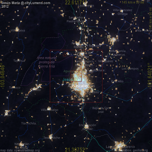
» Earth at Night: Flat Maps 2012, 2016