Guadalupe night lights from space
Night Light of Guadalupe (Zacatecas) from space (Mexico) Src. Average luminocity for 10x10km area is 65.5337% and for 50x50km: 10.7446%.
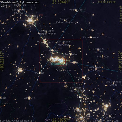
Analysis of Guadalupe night lights 2016
Square area 10x10 km:
 12.9%
12.9%90-99
15.67%80-89
14.29%70-79
12.9%60-69
5.16%50-59
3.57%40-49
6.35%30-39
9.33%20-29
16.07%10-19
3.77%0-9
0%Square area 50x50 km:
1.05%90-99
1.44%80-89
2.22%70-79
1.69%60-69
1.04%50-59
0.71%40-49
1.39%30-39
1.37%20-29
2.99%10-19
7.35%0-9
78.75%Clear (daylight) street map image can be seen on geolist.org.
Map coordinates:
23° 23' 39.9" North, 103° 13' 18.7" West
22° 44' 51.1" North, 102° 31' 7.5" West
22° 5' 51.3" North, 101° 48' 56.2" West
Some cities around Guadalupe sort by population:
• Zacatecas
6.8 km =4.2 mi,  289°
289°
• Víctor Rosales
29.2 km =18.1 mi,  319°
319°
• Trancoso
15.6 km =9.7 mi,  94°
94°
• Tacoaleche
14.2 km =8.8 mi,  55°
55°
• San Pedro Piedra Gorda
37.6 km =23.4 mi,  152°
152°
• Morelos
15.8 km =9.8 mi, 323°
• Luis Moya
44.7 km =27.8 mi,  141°
141°
• Pozos de Gamboa
23 km =14.3 mi,  346°
346°
4005509 (p: 124,623)
Sources (retrieved 2019-11-25):
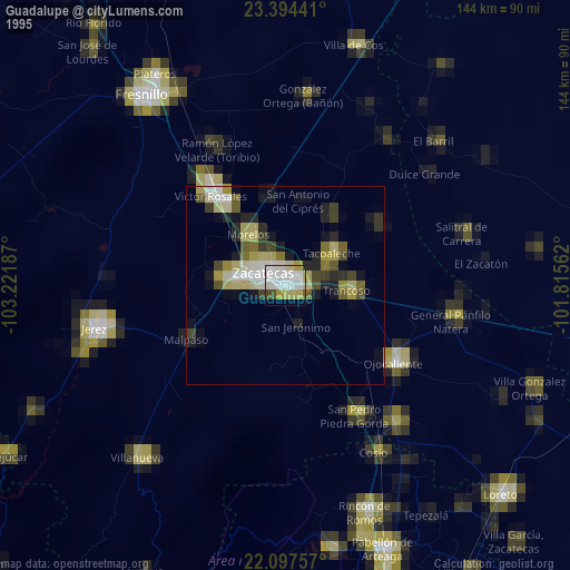
» NASA, Earths city lights 1995
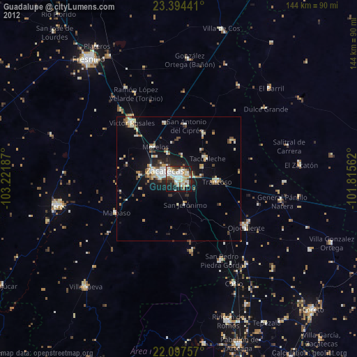
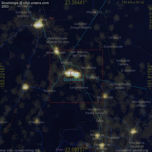
» NASA city lights 2003
» Earth at Night: Flat Maps 2012, 2016