Culiacán night lights from space
Night Light of Culiacán (Sinaloa) from space (Mexico) Src. Average luminocity for 10x10km area is 93.8693% and for 50x50km: 15.6721%.
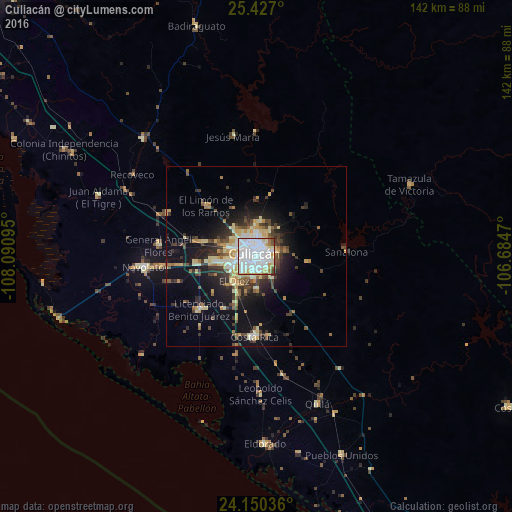
Analysis of Culiacán night lights 2016
Square area 10x10 km:
 58.52%
90-99
22.92%80-89
7.77%70-79
3.6%60-69
3.03%50-59
1.89%40-49
2.08%30-39
0.19%20-29
0%10-19
0%0-9
0%Square area 50x50 km:
3%90-99
2.26%80-89
2.69%70-79
1.74%60-69
1.41%50-59
1.47%40-49
2.62%30-39
2.65%20-29
3.46%10-19
9.21%0-9
69.48%Clear (daylight) street map image can be seen on geolist.org.
Map coordinates:
25° 25' 37.2" North, 108° 5' 27.4" West
24° 47' 25.2" North, 107° 23' 16.2" West
24° 9' 1.3" North, 106° 41' 4.9" West
Some cities around Culiacán sort by population:
• Navolato
31.9 km =19.8 mi,  265°
265°
• Villa de Costa Rica
22.1 km =13.7 mi,  180°
180°
• Licenciado Benito Juárez (Campo Gobierno)
21.7 km =13.5 mi,  226°
226°
• Villa Juárez
21.3 km =13.2 mi, 226°
• General Ángel Flores (La Palma)
27.3 km =17 mi,  276°
276°
• El Diez
9.8 km =6.1 mi,  221°
221°
• Quila
44.1 km =27.4 mi,  157°
157°
• Adolfo López Mateos (El Tamarindo)
27.4 km =17 mi,  295°
295°
4012176 (p: 675,773)
Sources (retrieved 2019-11-25):
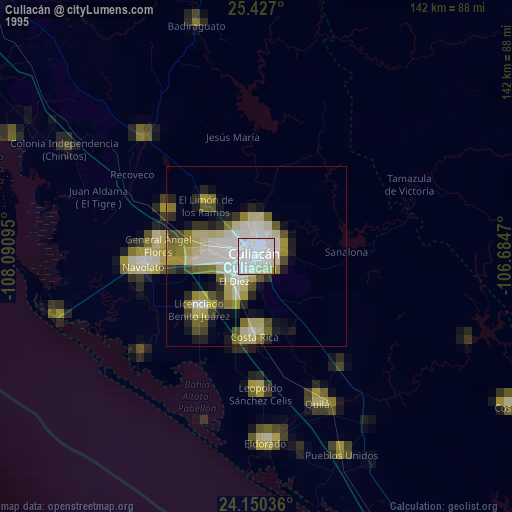
» NASA, Earths city lights 1995
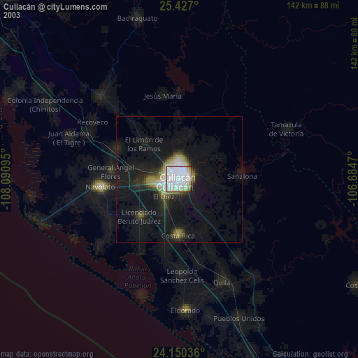
» NASA city lights 2003
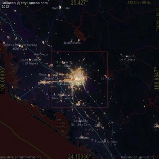
» Earth at Night: Flat Maps 2012, 2016