Licenciado Benito Juárez (Campo Gobierno) night lights from space
Night Light of Licenciado Benito Juárez (Campo Gobierno) (Sinaloa) from space (Mexico) Src. Average luminocity for 10x10km area is 13.4385% and for 50x50km: 16.6045%.
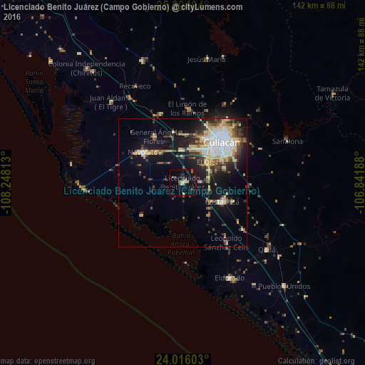
Analysis of Licenciado Benito Juárez (Campo Gobierno) night lights 2016
Square area 10x10 km:
 0.4%
0.4%90-99
0.6%80-89
2.98%70-79
1.98%60-69
1.39%50-59
1.79%40-49
2.98%30-39
0.4%20-29
3.17%10-19
4.17%0-9
80.16%Square area 50x50 km:
3.07%90-99
2.46%80-89
2.9%70-79
1.83%60-69
1.48%50-59
1.61%40-49
2.9%30-39
2.7%20-29
3.48%10-19
9.38%0-9
68.19%Clear (daylight) street map image can be seen on geolist.org.
Map coordinates:
25° 17' 38.5" North, 108° 14' 53.3" West
24° 39' 24" North, 107° 32' 42" West
24° 0' 57.7" North, 106° 50' 30.8" West
Some cities around Licenciado Benito Juárez (Campo Gobierno) sort by population:
• Culiacán
21.7 km =13.5 mi,  46°
46°
• Navolato
20 km =12.4 mi,  307°
307°
• Villa de Costa Rica
17.4 km =10.8 mi,  114°
114°
• Villa Juárez
0.5 km =0.3 mi,  63°
63°
• Eldorado
41.1 km =25.5 mi,  154°
154°
• General Ángel Flores (La Palma)
21.3 km =13.2 mi,  328°
328°
• El Diez
12 km =7.5 mi, 51°
• Adolfo López Mateos (El Tamarindo)
28.1 km =17.5 mi,  341°
341°
8858101 (p: 24,185)
Sources (retrieved 2019-11-25):
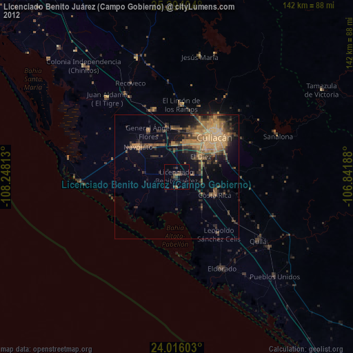
» Earth at Night: Flat Maps 2012, 2016