Cosoleacaque night lights from space
Night Light of Cosoleacaque (Veracruz) from space (Mexico) Src. Average luminocity for 10x10km area is 63.5433% and for 50x50km: 21.8262%.
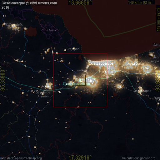
Analysis of Cosoleacaque night lights 2016
Square area 10x10 km:
 3.03%
3.03%90-99
12.55%80-89
16.02%70-79
13.85%60-69
9.74%50-59
11.47%40-49
17.53%30-39
7.79%20-29
6.71%10-19
1.3%0-9
0%Square area 50x50 km:
2.48%90-99
4.23%80-89
3.15%70-79
2.38%60-69
2.85%50-59
4.08%40-49
5.8%30-39
4.39%20-29
3.86%10-19
6.9%0-9
59.88%Clear (daylight) street map image can be seen on geolist.org.
Map coordinates:
18° 39' 59.6" North, 95° 20' 20.5" West
17° 59' 56.9" North, 94° 38' 9.2" West
17° 19' 45" North, 93° 55' 58" West
Some cities around Cosoleacaque sort by population:
• Minatitlán
8.4 km =5.2 mi,  89°
89°
• Jáltipan de Morelos
9.1 km =5.7 mi,  245°
245°
• Fraccionamiento Ciudad Olmeca
19 km =11.8 mi,  27°
27°
• Oteapan
3.2 km =2 mi,  275°
275°
• Zaragoza
4.6 km =2.9 mi,  188°
188°
• El Naranjito
3.1 km =1.9 mi, 92°
• Chinameca
5.3 km =3.3 mi,  298°
298°
• Coacotla
7.7 km =4.8 mi,  205°
205°
3530167 (p: 22,454)
Sources (retrieved 2019-11-25):
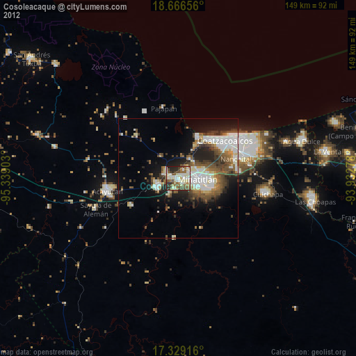
» Earth at Night: Flat Maps 2012, 2016