Comonfort night lights from space
Night Light of Comonfort (Guanajuato) from space (Mexico) Src. Average luminocity for 10x10km area is 38.6705% and for 50x50km: 25.535%.
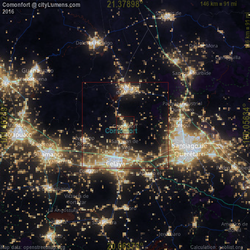
Analysis of Comonfort night lights 2016
Square area 10x10 km:
 1.33%
1.33%90-99
0.76%80-89
9.09%70-79
9.85%60-69
7.01%50-59
4.17%40-49
8.71%30-39
7.39%20-29
9.85%10-19
38.26%0-9
3.6%Square area 50x50 km:
2.23%90-99
2.64%80-89
4.81%70-79
4.65%60-69
3.66%50-59
3.29%40-49
6.03%30-39
5.16%20-29
7.06%10-19
12.27%0-9
48.19%Clear (daylight) street map image can be seen on geolist.org.
Map coordinates:
21° 22' 44.3" North, 101° 27' 45.3" West
20° 43' 22" North, 100° 45' 34.1" West
20° 3' 49.4" North, 100° 3' 22.8" West
Some cities around Comonfort sort by population:
• Celaya
22.9 km =14.2 mi,  194°
194°
• San Miguel de Allende
21.5 km =13.4 mi,  4°
4°
• Juventino Rosas
25.8 km =16 mi,  250°
250°
• Apaseo el Grande
21.3 km =13.2 mi,  158°
158°
• Empalme Escobedo
5.7 km =3.5 mi,  166°
166°
• San Miguel Octopan
16.6 km =10.3 mi,  175°
175°
• San Juan de la Vega
10.9 km =6.8 mi, 181°
• Santiago de Cuenda
28 km =17.4 mi,  240°
240°
4013094 (p: 23,683)
Sources (retrieved 2019-11-25):
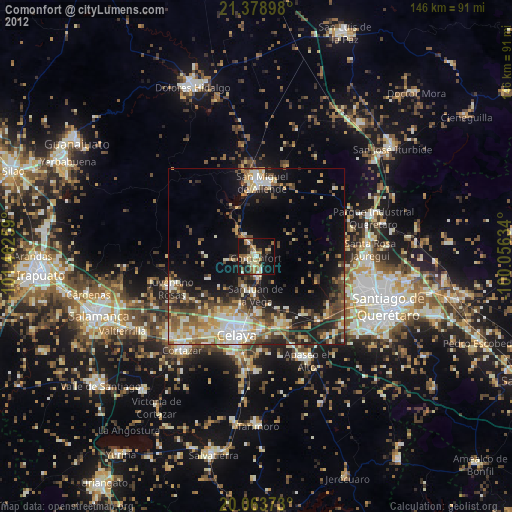
» Earth at Night: Flat Maps 2012, 2016