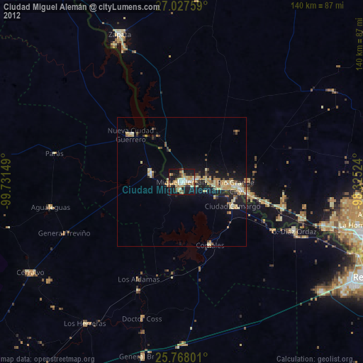
Ciudad Miguel Alemán night lights from space
Night Light of Ciudad Miguel Alemán (Tamaulipas) from space (Mexico) Src. Average luminocity for 10x10km area is 37.8561% and for 50x50km: 6.2341%.

Analysis of Ciudad Miguel Alemán night lights 2016
Square area 10x10 km:
 4.17%
4.17%90-99
3.6%80-89
4.36%70-79
7.39%60-69
7.39%50-59
8.52%40-49
3.79%30-39
5.87%20-29
6.63%10-19
40.72%0-9
7.58%Square area 50x50 km:
0.39%90-99
0.39%80-89
0.94%70-79
0.93%60-69
1.03%50-59
1.47%40-49
0.79%30-39
1.05%20-29
1.36%10-19
6.27%0-9
85.39%Clear (daylight) street map image can be seen on geolist.org.
Map coordinates:
27° 1' 39.3" North, 99° 43' 53.4" West
26° 23' 58.3" North, 99° 1' 42.1" West
25° 46' 4.8" North, 98° 19' 30.9" West
Some cities around Ciudad Miguel Alemán sort by population:
• Rio Grande City, US
20.8 km =12.9 mi,  96°
96°
• Roma, US
1.4 km =0.9 mi,  62°
62°
• Camargo
24.5 km =15.2 mi,  131°
131°
• Roma-Los Saenz, US
1.4 km =0.9 mi, 63°
• Palmview South, US
67.9 km =42.2 mi,  107°
107°
• Perezville, US
65.5 km =40.7 mi, 107°
• Doffing, US
65.5 km =40.7 mi, 102°
• Zapata, US
61.4 km =38.2 mi,  336°
336°
3530590 (p: 19,997)
Sources (retrieved 2019-11-25):
» Earth at Night: Flat Maps 2012, 2016