Benito García (El Zorrillo) night lights from space
Night Light of Benito García (El Zorrillo) (Baja California) from space (Mexico) Src. Average luminocity for 10x10km area is 6.2363% and for 50x50km: 5.5396%.
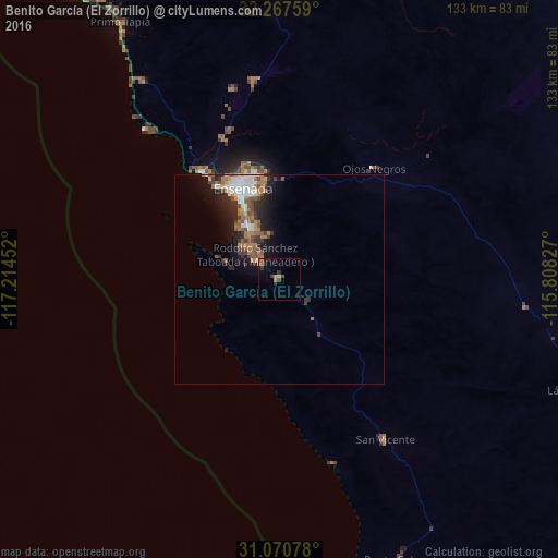
Analysis of Benito García (El Zorrillo) night lights 2016
Square area 10x10 km:
 0%
0%90-99
0%80-89
0%70-79
0.73%60-69
2.2%50-59
0.73%40-49
2.01%30-39
2.93%20-29
0.92%10-19
1.83%0-9
88.64%Square area 50x50 km:
0.85%90-99
0.88%80-89
0.12%70-79
0.45%60-69
1.47%50-59
0.96%40-49
0.98%30-39
1.01%20-29
1.41%10-19
3.26%0-9
88.61%Clear (daylight) street map image can be seen on geolist.org.
Map coordinates:
32° 16' 3.3" North, 117° 12' 52.3" West
31° 40' 16" North, 116° 30' 41" West
31° 4' 14.8" North, 115° 48' 29.8" West
Some cities around Benito García (El Zorrillo) sort by population:
• Ensenada
23.8 km =14.8 mi,  339°
339°
• Rosarito
91.8 km =57 mi,  326°
326°
• Rodolfo Sánchez Taboada
8 km =5 mi,  314°
314°
• Villa del Prado 2da Sección
94.3 km =58.6 mi, 332°
• Las Delicias
91.6 km =56.9 mi, 333°
• El Sauzal de Rodríguez
30.1 km =18.7 mi, 325°
• San Luis
94.3 km =58.6 mi, 333°
• Maclovio Rojas
93.3 km =58 mi, 342°
8858215 (p: 6,598)
Sources (retrieved 2019-11-25):
» Earth at Night: Flat Maps 2012, 2016