Goodlands night lights from space
Night Light of Goodlands (Rivière du Rempart) from space (Mauritius) Src. Average luminocity for 10x10km area is 27.4147% and for 50x50km: 12.4502%.
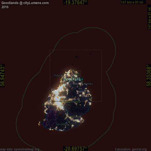
Analysis of Goodlands night lights 2016
Square area 10x10 km:
 0%
0%90-99
0.6%80-89
2.38%70-79
4.56%60-69
2.78%50-59
8.73%40-49
8.73%30-39
7.74%20-29
15.28%10-19
23.02%0-9
26.19%Square area 50x50 km:
1.22%90-99
1.98%80-89
1.59%70-79
1.43%60-69
1.4%50-59
1.57%40-49
2.98%30-39
3.13%20-29
4.31%10-19
5.84%0-9
74.55%Clear (daylight) street map image can be seen on geolist.org.
Map coordinates:
19° 22' 35.3" South, 56° 56' 50.7" East
20° 2' 18.3" South, 57° 39' 2" East
20° 41' 51.3" South, 58° 21' 13.2" East
Some cities around Goodlands sort by population:
• Rivière du Rempart
8 km =5 mi,  153°
153°
• Grand Baie
7.7 km =4.8 mi,  287°
287°
• Petit Raffray
3.5 km =2.2 mi,  305°
305°
• Plaine des Papayes
8.7 km =5.4 mi,  250°
250°
• Grand Gaube
3.7 km =2.3 mi,  16°
16°
• Morcellement Saint André
9.4 km =5.8 mi, 246°
• Piton
6.1 km =3.8 mi,  200°
200°
• Fond du Sac
7 km =4.3 mi,  261°
261°
934488 (p: 20,910)
Sources (retrieved 2019-11-25):
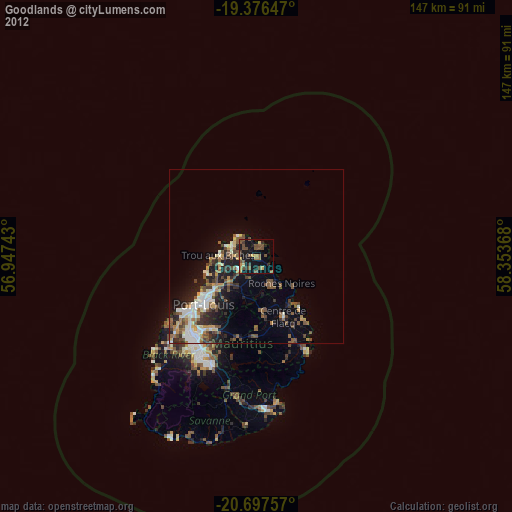
» Earth at Night: Flat Maps 2012, 2016