Sühbaatar night lights from space
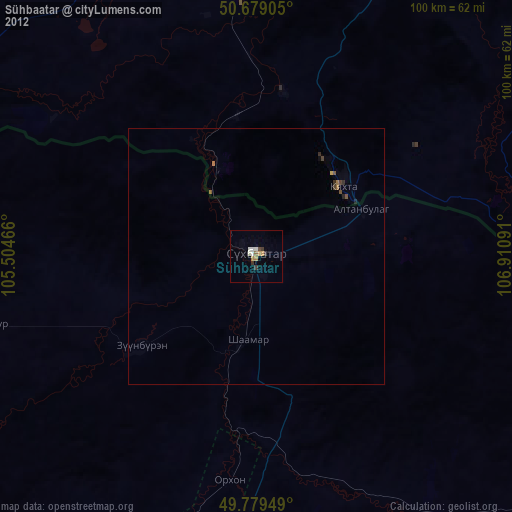
Night Light of Sühbaatar (Selenge) from space (Mongolia) Src. Average luminocity for 10x10km area is 4.6163% and for 50x50km: 0.6993%.
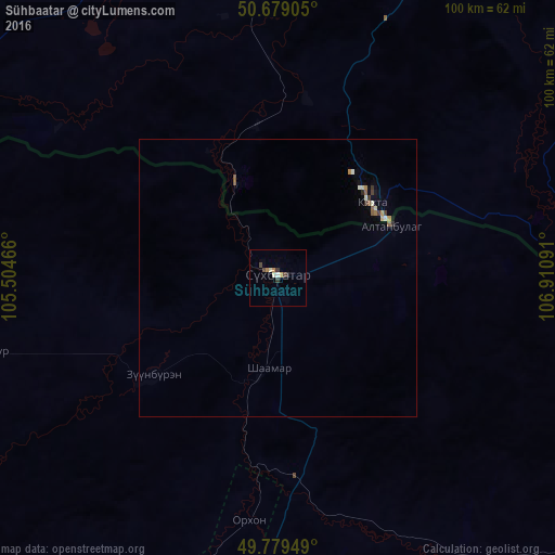
Analysis of Sühbaatar night lights 2016
Square area 10x10 km:
 0.4%
0.4%90-99
0.94%80-89
0.4%70-79
0.67%60-69
0.8%50-59
0%40-49
1.6%30-39
1.6%20-29
0%10-19
0%0-9
93.58%Square area 50x50 km:
0.03%90-99
0.15%80-89
0.07%70-79
0.07%60-69
0.1%50-59
0.14%40-49
0.09%30-39
0.19%20-29
0.03%10-19
0.05%0-9
99.07%Clear (daylight) street map image can be seen on geolist.org.
Map coordinates:
50° 40' 44.6" North, 105° 30' 16.8" East
50° 13' 53" North, 106° 12' 28" East
49° 46' 46.2" North, 106° 54' 39.3" East
Some cities around Sühbaatar sort by population:
• Darhan
85.3 km =53 mi,  193°
193°
• Gusinoozyorsk, RU
118.8 km =73.8 mi,  9°
9°
• Dzüünharaa
154.4 km =95.9 mi,  173°
173°
• Kyakhta, RU
22.2 km =13.8 mi,  50°
50°
• Bichura, RU
106.5 km =66.2 mi,  68°
68°
• Petropavlovka, RU
75.8 km =47.1 mi,  303°
303°
• Mukhorshibir’, RU
146.2 km =90.8 mi, 51°
• Rechka-Vydrino, RU
169.5 km =105.3 mi,  325°
325°
2029156 (p: 24,235)
Sources (retrieved 2019-11-25):
» Earth at Night: Flat Maps 2012, 2016