Mukhorshibir’ night lights from space
Night Light of Mukhorshibir’ (Buryatiya Republic) from space (Russia) Src. Average luminocity for 10x10km area is 1.7834% and for 50x50km: 0.0718%.
Analysis of Mukhorshibir’ night lights 2016
Square area 10x10 km:
 0%
0%90-99
0%80-89
0%70-79
0.53%60-69
0.53%50-59
0%40-49
1.6%30-39
0.53%20-29
0%10-19
0%0-9
96.79%Square area 50x50 km:
0%90-99
0%80-89
0%70-79
0.02%60-69
0.02%50-59
0%40-49
0.06%30-39
0.02%20-29
0%10-19
0%0-9
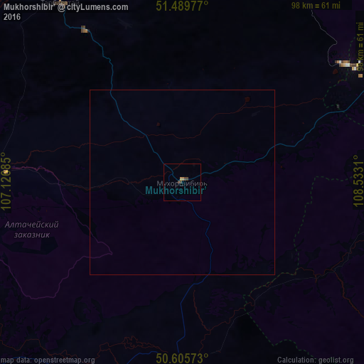
99.87%Clear (daylight) street map image can be seen on geolist.org.
Map coordinates:
51° 29' 23.2" North, 107° 7' 36.7" East
51° 2' 59.5" North, 107° 49' 47.9" East
50° 36' 20.6" North, 108° 31' 59.2" East
Some cities around Mukhorshibir’ sort by population:
• Ulan-Ude
87.8 km =54.6 mi,  349°
349°
• Gusinoozyorsk
96.3 km =59.8 mi,  285°
285°
• Petrovsk-Zabaykal’skiy
75 km =46.6 mi,  70°
70°
• Zarechnyy
91.4 km =56.8 mi, 346°
• Bichura
53.8 km =33.4 mi,  197°
197°
• Ivolginsk
86.5 km =53.7 mi,  334°
334°
• Sokol
87.6 km =54.4 mi,  342°
342°
• Zaigrayevo
92.4 km =57.4 mi,  19°
19°
2019710 (p: 5,500)
Sources (retrieved 2019-11-25):
» Earth at Night: Flat Maps 2012, 2016