Dzüünharaa night lights from space
Night Light of Dzüünharaa (Selenge) from space (Mongolia) Src. Average luminocity for 10x10km area is 2.5483% and for 50x50km: 0.1184%.
Analysis of Dzüünharaa night lights 2016
Square area 10x10 km:
 0%
0%90-99
0%80-89
0%70-79
0%60-69
0.57%50-59
1.42%40-49
1.14%30-39
1.28%20-29
0.57%10-19
0.71%0-9
94.32%Square area 50x50 km:
0%90-99
0%80-89
0%70-79
0%60-69
0.02%50-59
0.06%40-49
0.05%30-39
0.05%20-29
0.08%10-19
0.03%0-9
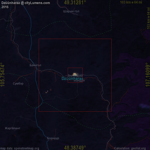
99.71%Clear (daylight) street map image can be seen on geolist.org.
Map coordinates:
49° 18' 46.1" North, 105° 45' 17.1" East
48° 51' 8.2" North, 106° 27' 28.3" East
48° 23' 15" North, 107° 9' 39.6" East
Some cities around Dzüünharaa sort by population:
• Ulan Bator
109.6 km =68.1 mi,  163°
163°
• Erdenet
174.6 km =108.5 mi,  276°
276°
• Darhan
80.6 km =50.1 mi,  331°
331°
• Sühbaatar
154.4 km =95.9 mi,  353°
353°
• Kyakhta, RU
167.4 km =104 mi,  359°
359°
• Зуунмод
132.5 km =82.3 mi, 163°
• Bichura, RU
209.8 km =130.4 mi,  23°
23°
• Petropavlovka, RU
212 km =131.7 mi,  337°
337°
2031533 (p: 18,830)
Sources (retrieved 2019-11-25):
» Earth at Night: Flat Maps 2012, 2016