Kumanovo night lights from space
Night Light of Kumanovo from space (North Macedonia) Src. Average luminocity for 10x10km area is 31.247% and for 50x50km: 8.7256%.
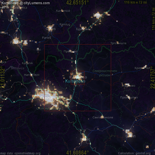
Analysis of Kumanovo night lights 2016
Square area 10x10 km:
 2.42%
2.42%90-99
4.24%80-89
6.06%70-79
3.79%60-69
6.36%50-59
4.7%40-49
4.39%30-39
3.18%20-29
2.12%10-19
35.91%0-9
26.82%Square area 50x50 km:
1.19%90-99
1.76%80-89
1.04%70-79
0.79%60-69
1.47%50-59
1.1%40-49
1.27%30-39
1.31%20-29
2.37%10-19
5.11%0-9
82.59%Clear (daylight) street map image can be seen on geolist.org.
Map coordinates:
42° 39' 5.4" North, 21° 0' 40.8" East
42° 7' 56" North, 21° 42' 52" East
41° 36' 31.1" North, 22° 25' 3.3" East
Some cities around Kumanovo sort by population:
• Čair
26 km =16.2 mi,  240°
240°
• Butel
24.8 km =15.4 mi, 242°
• Lipkovo
11 km =6.8 mi,  284°
284°
• Ilinden
18.9 km =11.7 mi,  215°
215°
• Арачиново
17.2 km =10.7 mi,  226°
226°
• Radishani
23.4 km =14.5 mi,  250°
250°
• Петровец
23 km =14.3 mi,  200°
200°
• Старо Нагоричане
11.9 km =7.4 mi,  52°
52°
788886 (p: 76,275)
Sources (retrieved 2019-11-25):
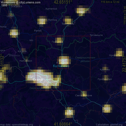
» NASA, Earths city lights 1995
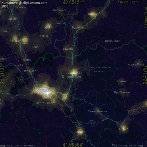
» NASA city lights 2003
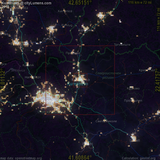
» Earth at Night: Flat Maps 2012, 2016