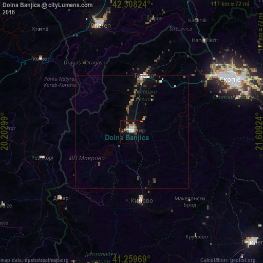
Dolna Banjica night lights from space
Night Light of Dolna Banjica (Gostivar) from space (North Macedonia) Src. Average luminocity for 10x10km area is 20.5162% and for 50x50km: 2.4014%.
Analysis of Dolna Banjica night lights 2016
Square area 10x10 km:
 2.11%
2.11%90-99
3.73%80-89
1.95%70-79
2.27%60-69
2.76%50-59
4.71%40-49
2.92%30-39
0%20-29
3.41%10-19
17.69%0-9
58.44%Square area 50x50 km:
0.17%90-99
0.35%80-89
0.17%70-79
0.23%60-69
0.28%50-59
0.59%40-49
0.51%30-39
0.34%20-29
0.32%10-19
1.6%0-9
95.45%Clear (daylight) street map image can be seen on geolist.org.
Map coordinates:
42° 18' 29.7" North, 20° 12' 10.8" East
41° 47' 10" North, 20° 54' 22" East
41° 15' 34.9" North, 21° 36' 33.3" East
Some cities around Dolna Banjica sort by population:
• Gostivar
1.1 km =0.7 mi,  8°
8°
• Negotino
10.4 km =6.5 mi,  349°
349°
• Kamenjane
17.8 km =11.1 mi, 6°
• Bogovinje
15.3 km =9.5 mi,  2°
2°
• Cegrane
8.2 km =5.1 mi,  44°
44°
• Zajas
20.1 km =12.5 mi,  172°
172°
• Vrapčište
5.6 km =3.5 mi,  342°
342°
• Vrutok
5.9 km =3.7 mi,  250°
250°
791371 (p: 10,147)
Sources (retrieved 2019-11-25):
» Earth at Night: Flat Maps 2012, 2016