Centar Župa night lights from space
Night Light of Centar Župa (Centar Zhupa) from space (North Macedonia) Src. Average luminocity for 10x10km area is 1.9031% and for 50x50km: 0.3641%.
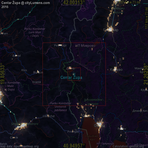
Analysis of Centar Župa night lights 2016
Square area 10x10 km:
 0%
0%90-99
0%80-89
0%70-79
1.36%60-69
0%50-59
0%40-49
1.36%30-39
0%20-29
0%10-19
0.68%0-9
96.6%Square area 50x50 km:
0%90-99
0.05%80-89
0.05%70-79
0.06%60-69
0.03%50-59
0.08%40-49
0.18%30-39
0.03%20-29
0.08%10-19
0.1%0-9
99.35%Clear (daylight) street map image can be seen on geolist.org.
Map coordinates:
42° 0' 11.3" North, 19° 51' 22.8" East
41° 28' 42.6" North, 20° 33' 34" East
40° 56' 58.5" North, 21° 15' 45.3" East
Some cities around Centar Župa sort by population:
• Debar
5.9 km =3.7 mi,  330°
330°
• Peshkopi, AL
25.4 km =15.8 mi, 334°
• Bulqizë, AL
28.2 km =17.5 mi,  272°
272°
• Rostusa
15 km =9.3 mi,  12°
12°
• Labunista
23.5 km =14.6 mi,  172°
172°
• Velesta
27.3 km =17 mi, 165°
• Delogožda
28.1 km =17.5 mi,  151°
151°
• Vevčani
26.6 km =16.5 mi, 173°
7886881 (p: 45,412)
Sources (retrieved 2019-11-25):
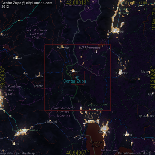
» Earth at Night: Flat Maps 2012, 2016