Peshkopi night lights from space
Night Light of Peshkopi (Dibër) from space (Albania) Src. Average luminocity for 10x10km area is 2.1623% and for 50x50km: 0.3088%.
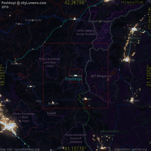
Analysis of Peshkopi night lights 2016
Square area 10x10 km:
 0%
0%90-99
1.3%80-89
0%70-79
0%60-69
0.65%50-59
0.32%40-49
0.32%30-39
0%20-29
0%10-19
0%0-9
97.4%Square area 50x50 km:
0%90-99
0.08%80-89
0.07%70-79
0.08%60-69
0.03%50-59
0.01%40-49
0.06%30-39
0%20-29
0.08%10-19
0.08%0-9
99.51%Clear (daylight) street map image can be seen on geolist.org.
Map coordinates:
42° 12' 28.7" North, 19° 43' 32.8" East
41° 41' 6" North, 20° 25' 44" East
41° 9' 27.9" North, 21° 7' 55.3" East
Some cities around Peshkopi sort by population:
• Centar Župa, MK
25.4 km =15.8 mi,  154°
154°
• Debar, MK
19.5 km =12.1 mi,  156°
156°
• Burrel
35.9 km =22.3 mi,  256°
256°
• Bulqizë
27.5 km =17.1 mi,  218°
218°
• Dolna Banjica, MK
41.2 km =25.6 mi,  74°
74°
• Rostusa, MK
16.5 km =10.3 mi,  120°
120°
• Vrapčište, MK
41.4 km =25.7 mi, 66°
• Vrutok, MK
35.3 km =21.9 mi, 74°
782061 (p: 14,848)
Sources (retrieved 2019-11-25):
» Earth at Night: Flat Maps 2012, 2016