Manakara night lights from space
Night Light of Manakara (Vatovavy Fitovinany) from space (Madagascar) Src. Average luminocity for 10x10km area is 0.5397% and for 50x50km: 0.0215%.

Analysis of Manakara night lights 2016
Square area 10x10 km:
 0%
0%90-99
0%80-89
0%70-79
0%60-69
0%50-59
0%40-49
0.79%30-39
0%20-29
0.79%10-19
0%0-9
98.41%Square area 50x50 km:
0%90-99
0%80-89
0%70-79
0%60-69
0%50-59
0%40-49
0.03%30-39
0%20-29
0.03%10-19
0%0-9
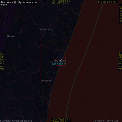
99.94%Clear (daylight) street map image can be seen on geolist.org.
Map coordinates:
21° 29' 45.2" South, 47° 18' 26.7" East
22° 8' 55" South, 48° 0' 38" East
22° 47' 54" South, 48° 42' 49.2" East
Some cities around Manakara sort by population:
• Ikongo
66.4 km =41.3 mi,  296°
296°
• Farafangana
77.3 km =48 mi,  194°
194°
• Vondrozo
105.4 km =65.5 mi,  225°
225°
• Ifanadiana
102.1 km =63.4 mi,  337°
337°
• Amboanjo
23.4 km =14.5 mi,  314°
314°
• Ifatsy
38.7 km =24 mi,  223°
223°
• Manato
61 km =37.9 mi,  242°
242°
• Vohimanitra
59.3 km =36.8 mi,  327°
327°
1061605 (p: 35,499)
Sources (retrieved 2019-11-25):
» Earth at Night: Flat Maps 2012, 2016