Gusinje night lights from space
Night Light of Gusinje from space (Montenegro) Src. Average luminocity for 10x10km area is 1.8492% and for 50x50km: 0.2328%.
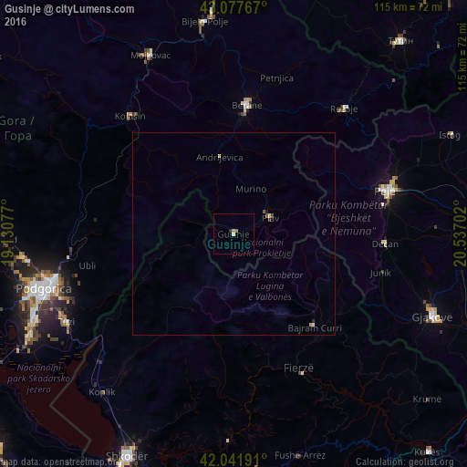
Analysis of Gusinje night lights 2016
Square area 10x10 km:
 0%
0%90-99
0.63%80-89
0%70-79
0.63%60-69
0.63%50-59
0%40-49
0%30-39
0%20-29
0.63%10-19
0%0-9
97.46%Square area 50x50 km:
0.02%90-99
0.04%80-89
0.04%70-79
0.05%60-69
0.03%50-59
0.03%40-49
0.04%30-39
0.03%20-29
0.05%10-19
0.03%0-9
99.65%Clear (daylight) street map image can be seen on geolist.org.
Map coordinates:
43° 4' 39.6" North, 19° 7' 50.8" East
42° 33' 43" North, 19° 50' 2" East
42° 2' 30.9" North, 20° 32' 13.3" East
Some cities around Gusinje sort by population:
• Deçan, XK
37.3 km =23.2 mi,  93°
93°
• Peć, XK
38.7 km =24 mi,  73°
73°
• Berane
31.4 km =19.5 mi,  5°
5°
• Strellc i Epërm, XK
37.7 km =23.4 mi, 87°
• Isniq, XK
38.4 km =23.9 mi, 90°
• Plav
9.9 km =6.2 mi, 66°
• Kolašin
38.9 km =24.2 mi,  318°
318°
• Andrijevica
19.4 km =12.1 mi,  349°
349°
3199463 (p: 4)
Sources (retrieved 2019-11-25):
» Earth at Night: Flat Maps 2012, 2016