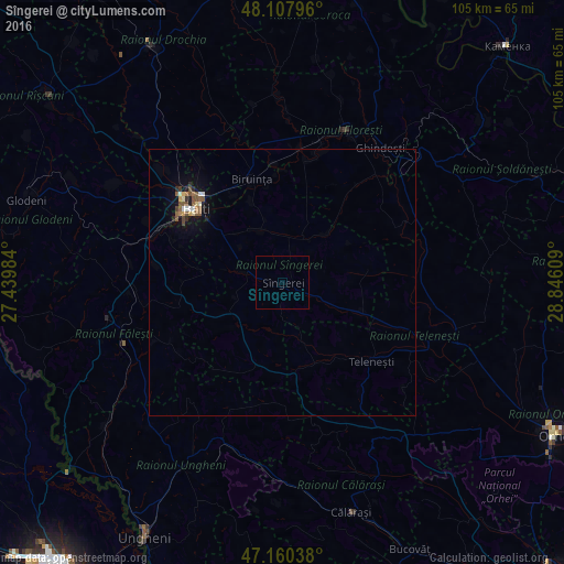
Sîngerei night lights from space
Night Light of Sîngerei from space (Moldova) Src. Average luminocity for 10x10km area is 0% and for 50x50km: 0.9299%.
Analysis of Sîngerei night lights 2016
Square area 10x10 km:
 0%
0%90-99
0%80-89
0%70-79
0%60-69
0%50-59
0%40-49
0%30-39
0%20-29
0%10-19
0%0-9
100%Square area 50x50 km:
0.04%90-99
0.15%80-89
0.08%70-79
0.08%60-69
0.1%50-59
0.27%40-49
0.22%30-39
0.04%20-29
0.16%10-19
0.73%0-9
98.13%Clear (daylight) street map image can be seen on geolist.org.
Map coordinates:
48° 6' 28.7" North, 27° 26' 23.4" East
47° 38' 10.8" North, 28° 8' 34.7" East
47° 9' 37.4" North, 28° 50' 45.9" East
Some cities around Sîngerei sort by population:
• Bălţi
21.3 km =13.2 mi,  311°
311°
• Floreşti
30.5 km =19 mi,  21°
21°
• Bilicenii Vechi
7.5 km =4.7 mi,  286°
286°
• Fălești
32.9 km =20.4 mi,  258°
258°
• Călăraşi
44.2 km =27.5 mi,  163°
163°
• Glodeni
49.2 km =30.6 mi, 288°
• Mîndreşti
17.7 km =11 mi,  145°
145°
• Teleneşti
22.5 km =14 mi,  132°
132°
617914 (p: 14,600)
Sources (retrieved 2019-11-25):
» Earth at Night: Flat Maps 2012, 2016