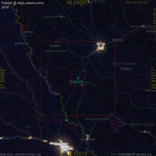
Fălești night lights from space
Night Light of Fălești from space (Moldova) Src. Average luminocity for 10x10km area is 0.5355% and for 50x50km: 0.8856%.
Analysis of Fălești night lights 2016
Square area 10x10 km:
 0%
0%90-99
0%80-89
0%70-79
0%60-69
0%50-59
0.57%40-49
0%30-39
0%20-29
0.57%10-19
0.57%0-9
98.3%Square area 50x50 km:
0.03%90-99
0.15%80-89
0.08%70-79
0.08%60-69
0.1%50-59
0.3%40-49
0.22%30-39
0.03%20-29
0.17%10-19
0.68%0-9
98.15%Clear (daylight) street map image can be seen on geolist.org.
Map coordinates:
48° 2' 55.9" North, 27° 0' 34.3" East
47° 34' 36" North, 27° 42' 45.5" East
47° 6' 0.7" North, 28° 24' 56.8" East
Some cities around Fălești sort by population:
• Bălţi
26.3 km =16.3 mi,  38°
38°
• Ungheni
41.2 km =25.6 mi,  170°
170°
• Bilicenii Vechi
26.6 km =16.5 mi,  70°
70°
• Sîngerei
32.9 km =20.4 mi,  78°
78°
• Glodeni
26.4 km =16.4 mi,  326°
326°
• Popricani, RO
34.1 km =21.2 mi,  205°
205°
• Şipote, RO
39.2 km =24.4 mi,  251°
251°
• Trifeşti, RO
20.4 km =12.7 mi,  226°
226°
618344 (p: 14,377)
Sources (retrieved 2019-11-25):
» Earth at Night: Flat Maps 2012, 2016