Zawiya night lights from space
Night Light of Zawiya (Az Zāwiyah) from space (Libya) Src. Average luminocity for 10x10km area is 88.7133% and for 50x50km: 29.9427%.
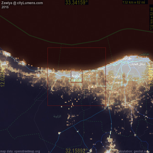
Analysis of Zawiya night lights 2016
Square area 10x10 km:
 27.45%
90-99
27.97%80-89
14.16%70-79
24.83%60-69
5.42%50-59
0.17%40-49
0%30-39
0%20-29
0%10-19
0%0-9
0%Square area 50x50 km:
2.92%90-99
3.5%80-89
4.96%70-79
7.15%60-69
6.76%50-59
4.56%40-49
5.66%30-39
4.56%20-29
6.08%10-19
7.6%0-9
46.26%Clear (daylight) street map image can be seen on geolist.org.
Map coordinates:
33° 20' 29.7" North, 12° 1' 28.8" East
32° 45' 8" North, 12° 43' 40" East
32° 9' 32.1" North, 13° 25' 51.3" East
Some cities around Zawiya sort by population:
• Tripoli
45.5 km =28.3 mi,  70°
70°
• Az Zāwīyah
0.5 km =0.3 mi,  358°
358°
• Al Ajaylat
32.9 km =20.4 mi,  270°
270°
• Şabrātah
22.8 km =14.2 mi,  281°
281°
• Tagiura
59.9 km =37.2 mi,  76°
76°
• Zuwārah
63.5 km =39.5 mi,  288°
288°
• Şurmān
14.6 km =9.1 mi, 271°
• Al ‘Azīzīyah
36.5 km =22.7 mi,  132°
132°
2216885 (p: 186,123)
Sources (retrieved 2019-11-25):
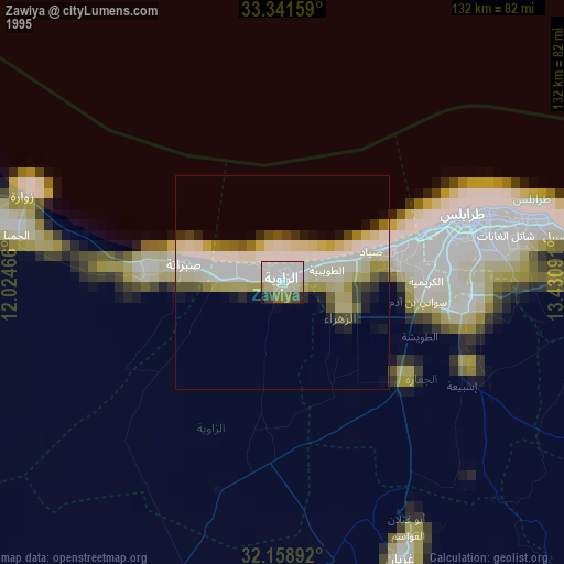
» NASA, Earths city lights 1995
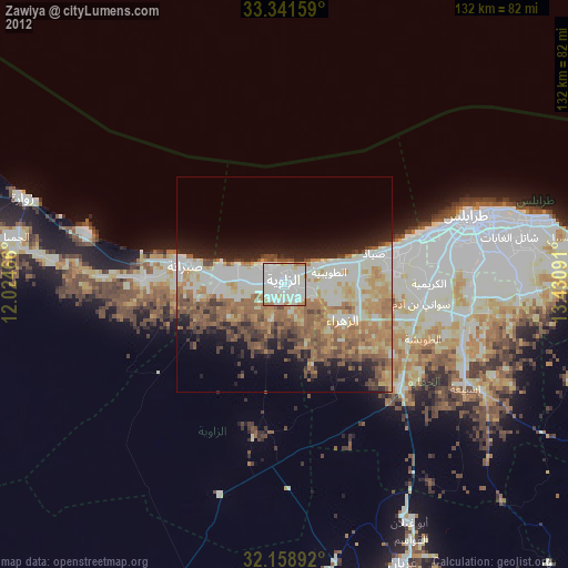
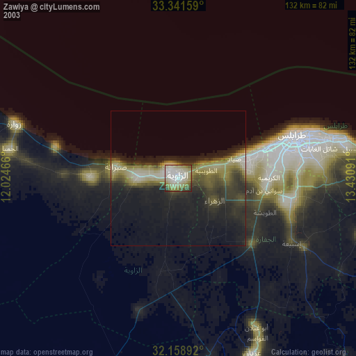
» NASA city lights 2003
» Earth at Night: Flat Maps 2012, 2016