Şurmān night lights from space
Night Light of Şurmān (Az Zāwiyah) from space (Libya) Src. Average luminocity for 10x10km area is 79.8601% and for 50x50km: 23.8964%.
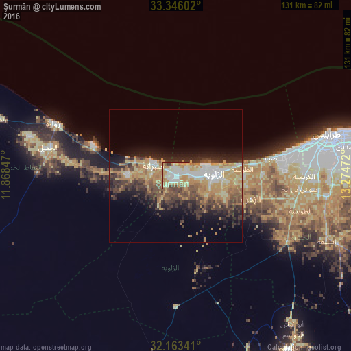
Analysis of Şurmān night lights 2016
Square area 10x10 km:
 18.36%
90-99
20.8%80-89
15.73%70-79
20.8%60-69
10.31%50-59
4.55%40-49
3.67%30-39
5.77%20-29
0%10-19
0%0-9
0%Square area 50x50 km:
2.56%90-99
2.91%80-89
3.96%70-79
5.35%60-69
4.6%50-59
2.84%40-49
4.3%30-39
4.77%20-29
5.54%10-19
7.96%0-9
55.2%Clear (daylight) street map image can be seen on geolist.org.
Map coordinates:
33° 20' 45.7" North, 11° 52' 6.5" East
32° 45' 24" North, 12° 34' 17.7" East
32° 9' 48.3" North, 13° 16' 29" East
Some cities around Şurmān sort by population:
• Tripoli
59.3 km =36.8 mi,  75°
75°
• Az Zāwīyah
14.6 km =9.1 mi,  89°
89°
• Zawiya
14.6 km =9.1 mi, 91°
• Al Ajaylat
18.3 km =11.4 mi,  270°
270°
• Şabrātah
8.8 km =5.5 mi,  297°
297°
• Zuwārah
49.7 km =30.9 mi,  292°
292°
• Zalţan
69.2 km =43 mi, 287°
• Al ‘Azīzīyah
48.7 km =30.3 mi,  120°
120°
2210560 (p: 25,235)
Sources (retrieved 2019-11-25):
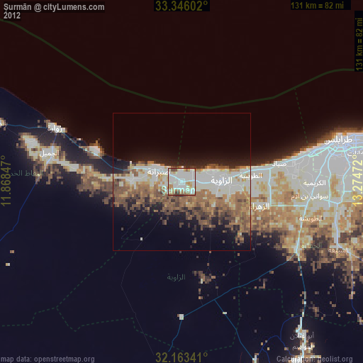
» Earth at Night: Flat Maps 2012, 2016