Valga night lights from space
Night Light of Valga (Valgamaa) from space (Estonia) Src. Average luminocity for 10x10km area is 8.5307% and for 50x50km: 0.4086%.
Analysis of Valga night lights 2016
Square area 10x10 km:
 2.16%
2.16%90-99
2.73%80-89
0.11%70-79
0.23%60-69
1.02%50-59
0.8%40-49
0.23%30-39
0%20-29
0%10-19
0.91%0-9
91.82%Square area 50x50 km:
0.09%90-99
0.11%80-89
0.01%70-79
0.02%60-69
0.06%50-59
0.03%40-49
0.05%30-39
0%20-29
0%10-19
0.04%0-9
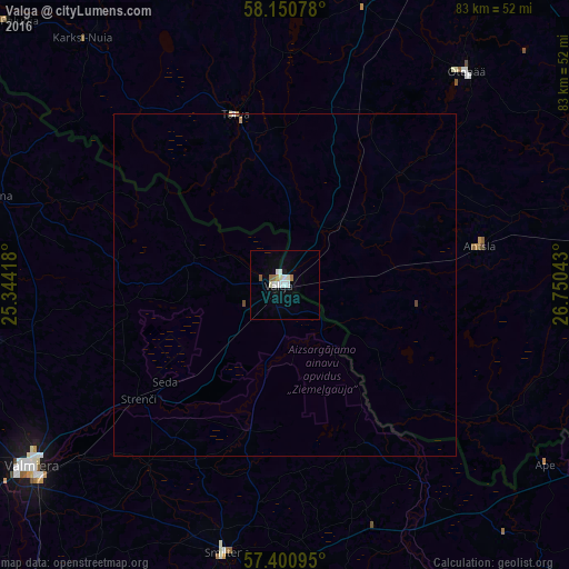
99.59%Clear (daylight) street map image can be seen on geolist.org.
Map coordinates:
58° 9' 2.8" North, 25° 20' 39" East
57° 46' 40.1" North, 26° 2' 50.3" East
57° 24' 3.4" North, 26° 45' 1.5" East
Some cities around Valga sort by population:
• Valmiera, LV
45.3 km =28.1 mi,  234°
234°
• Valka, LV
2.2 km =1.4 mi,  262°
262°
• Smiltene, LV
40.2 km =25 mi,  192°
192°
• Rūjiena, LV
44.4 km =27.6 mi,  287°
287°
• Strenči, LV
27.4 km =17 mi, 231°
• Ape, LV
46.7 km =29 mi,  124°
124°
• Mūrmuiža, LV
47.3 km =29.4 mi,  224°
224°
• Naukšēni, LV
36.9 km =22.9 mi, 288°
587876 (p: 13,945)
Sources (retrieved 2019-11-25):
» Earth at Night: Flat Maps 2012, 2016