Vilnius night lights from space
Night Light of Vilnius from space (Lithuania) Src. Average luminocity for 10x10km area is 82.2068% and for 50x50km: 8.7998%.
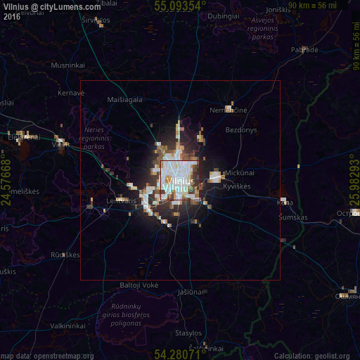
Analysis of Vilnius night lights 2016
Square area 10x10 km:
 35.84%
90-99
28.07%80-89
5.26%70-79
4.01%60-69
4.26%50-59
5.89%40-49
5.89%30-39
5.01%20-29
5.26%10-19
0.5%0-9
0%Square area 50x50 km:
2.17%90-99
1.97%80-89
0.63%70-79
0.83%60-69
0.63%50-59
1.05%40-49
0.96%30-39
1.22%20-29
2.26%10-19
4.93%0-9
83.33%Clear (daylight) street map image can be seen on geolist.org.
Map coordinates:
55° 5' 36.7" North, 24° 34' 36" East
54° 41' 21" North, 25° 16' 47.3" East
54° 16' 50.6" North, 25° 58' 58.5" East
Some cities around Vilnius sort by population:
• Fabijoniškės
5.5 km =3.4 mi,  333°
333°
• Šeškinė
3 km =1.9 mi,  320°
320°
• Lazdynai
5.2 km =3.2 mi,  243°
243°
• Justiniškės
5 km =3.1 mi,  307°
307°
• Naujamiestis
1.3 km =0.8 mi,  213°
213°
• Vilkpėdė
3 km =1.9 mi,  223°
223°
• Pilaitė
6.3 km =3.9 mi,  280°
280°
• Rasos
2.4 km =1.5 mi,  119°
119°
593116 (p: 542,366)
Sources (retrieved 2019-11-25):
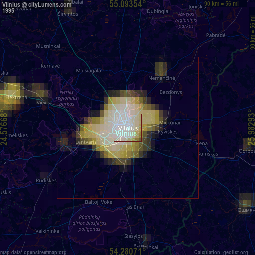
» NASA, Earths city lights 1995
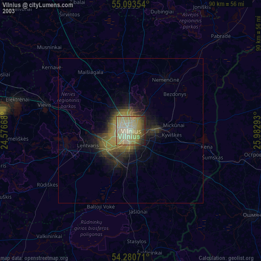
» NASA city lights 2003
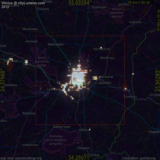
» Earth at Night: Flat Maps 2012, 2016