Nuwara Eliya night lights from space
Night Light of Nuwara Eliya (Central) from space (Sri Lanka) Src. Average luminocity for 10x10km area is 2.8377% and for 50x50km: 0.483%.
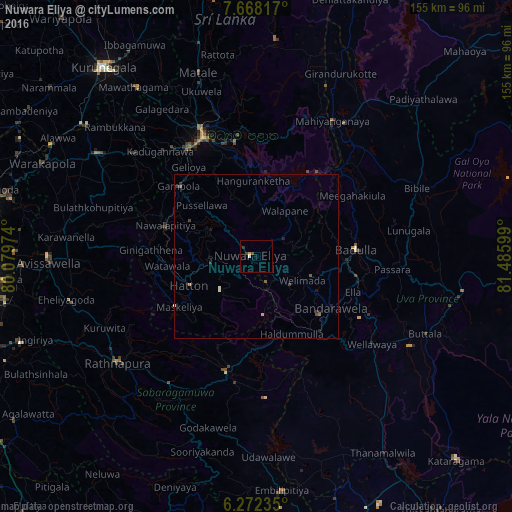
Analysis of Nuwara Eliya night lights 2016
Square area 10x10 km:
 0.43%
0.43%90-99
0.43%80-89
0%70-79
0.87%60-69
0%50-59
0%40-49
0.87%30-39
0.87%20-29
0.87%10-19
0%0-9
95.67%Square area 50x50 km:
0.02%90-99
0.1%80-89
0.03%70-79
0.03%60-69
0.07%50-59
0.1%40-49
0.1%30-39
0.13%20-29
0.18%10-19
0.14%0-9
99.08%Clear (daylight) street map image can be seen on geolist.org.
Map coordinates:
7° 40' 5.4" North, 80° 4' 47.1" East
6° 58' 14.8" North, 80° 46' 58.3" East
6° 16' 20.5" North, 81° 29' 9.6" East
Some cities around Nuwara Eliya sort by population:
• Kandy
39.2 km =24.4 mi,  335°
335°
• Ratnapura
52.5 km =32.6 mi,  232°
232°
• Badulla
30.4 km =18.9 mi,  88°
88°
• Matale
58.3 km =36.2 mi, 342°
• Gampola
31.9 km =19.8 mi,  312°
312°
• Kegalle
57.7 km =35.9 mi,  302°
302°
• Hatton
22.5 km =14 mi,  246°
246°
• Wellawaya
43.9 km =27.3 mi,  126°
126°
1232783 (p: 25,775)
Sources (retrieved 2019-11-25):
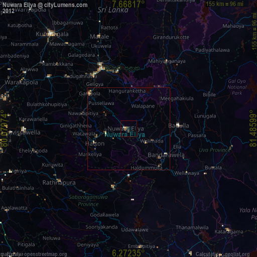
» Earth at Night: Flat Maps 2012, 2016