Kandy night lights from space
Night Light of Kandy (Central) from space (Sri Lanka) Src. Average luminocity for 10x10km area is 17.4719% and for 50x50km: 1.1691%.
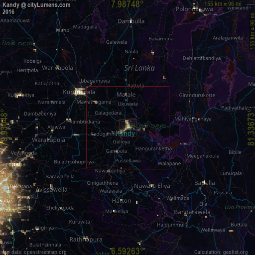
Analysis of Kandy night lights 2016
Square area 10x10 km:
 0%
0%90-99
0%80-89
1.52%70-79
3.25%60-69
4.33%50-59
3.25%40-49
5.41%30-39
5.63%20-29
6.28%10-19
3.46%0-9
66.88%Square area 50x50 km:
0%90-99
0%80-89
0.06%70-79
0.16%60-69
0.23%50-59
0.2%40-49
0.37%30-39
0.49%20-29
0.5%10-19
0.24%0-9
97.74%Clear (daylight) street map image can be seen on geolist.org.
Map coordinates:
7° 59' 14.9" North, 79° 55' 49.7" East
7° 17' 26.2" North, 80° 38' 1" East
6° 35' 33.5" North, 81° 20' 12.2" East
Some cities around Kandy sort by population:
• Dambulla
63.3 km =39.3 mi,  1°
1°
• Badulla
58.1 km =36.1 mi,  126°
126°
• Matale
20 km =12.4 mi,  356°
356°
• Kurunegala
36.3 km =22.6 mi,  306°
306°
• Nuwara Eliya
39.2 km =24.4 mi,  155°
155°
• Gampola
15.7 km =9.8 mi,  206°
206°
• Kegalle
32.3 km =20.1 mi,  262°
262°
• Hatton
44.6 km =27.7 mi,  185°
185°
1241622 (p: 111,701)
Sources (retrieved 2019-11-25):
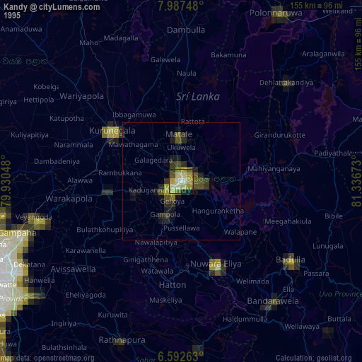
» NASA, Earths city lights 1995
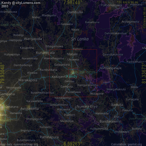
» NASA city lights 2003
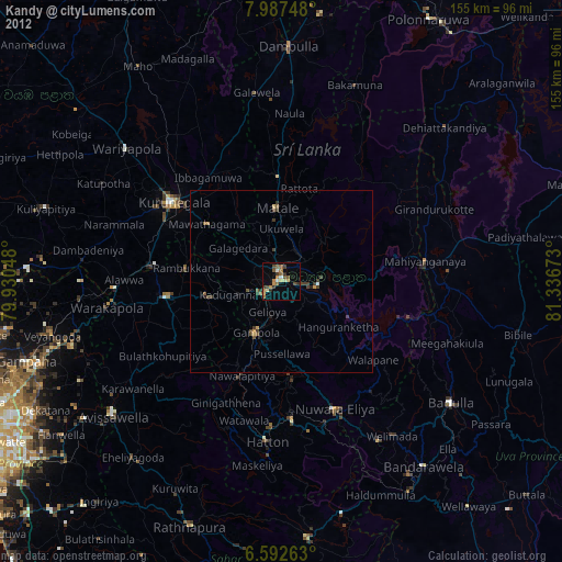
» Earth at Night: Flat Maps 2012, 2016