Torghay night lights from space
Night Light of Torghay (Qostanay) from space (Kazakhstan) Src. Average luminocity for 10x10km area is 0% and for 50x50km: 0%.
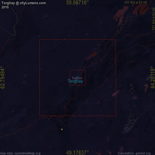
Analysis of Torghay night lights 2016
Square area 10x10 km:
 0%
0%90-99
0%80-89
0%70-79
0%60-69
0%50-59
0%40-49
0%30-39
0%20-29
0%10-19
0%0-9
100%Square area 50x50 km:
0%90-99
0%80-89
0%70-79
0%60-69
0%50-59
0%40-49
0%30-39
0%20-29
0%10-19
0%0-9
100%Clear (daylight) street map image can be seen on geolist.org.
Map coordinates:
50° 5' 13.8" North, 62° 47' 41.8" East
49° 38' 2" North, 63° 29' 53" East
49° 10' 34.9" North, 64° 12' 4.3" East
Some cities around Torghay sort by population:
• Dzhetygara
326.7 km =203 mi,  330°
330°
• Arkalyk
254.2 km =158 mi,  74°
74°
• Yasnyy, RU
300.6 km =186.8 mi,  301°
301°
• Derzhavīnsk
257.8 km =160.2 mi,  50°
50°
• Dombarovskiy, RU
308.3 km =191.6 mi,  293°
293°
• Svetlyy, RU
229.7 km =142.7 mi, 304°
• Qusmuryn
322.9 km =200.6 mi,  14°
14°
• Adamovka, RU
327.4 km =203.4 mi,  309°
309°
1518062 (p: 5,277)
Sources (retrieved 2019-11-25):
» Earth at Night: Flat Maps 2012, 2016