Zhelezinka night lights from space
Night Light of Zhelezinka (Pavlodar Region) from space (Kazakhstan) Src. Average luminocity for 10x10km area is 0.5595% and for 50x50km: 0.1085%.
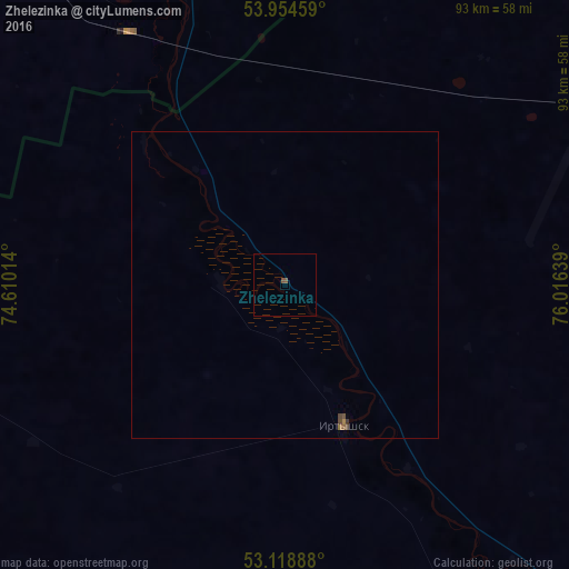
Analysis of Zhelezinka night lights 2016
Square area 10x10 km:
 0%
0%90-99
0%80-89
0%70-79
0%60-69
0%50-59
0.53%40-49
0.53%30-39
0%20-29
0%10-19
0%0-9
98.94%Square area 50x50 km:
0%90-99
0%80-89
0%70-79
0%60-69
0.04%50-59
0.05%40-49
0.09%30-39
0.03%20-29
0%10-19
0%0-9
99.8%Clear (daylight) street map image can be seen on geolist.org.
Map coordinates:
53° 57' 16.5" North, 74° 36' 36.5" East
53° 32' 19.7" North, 75° 18' 47.7" East
53° 7' 8" North, 76° 0' 59" East
Some cities around Zhelezinka sort by population:
• Kupino, RU
159.1 km =98.9 mi,  54°
54°
• Cherlak, RU
76.2 km =47.3 mi,  334°
334°
• Irtyshsk
24.7 km =15.3 mi,  157°
157°
• Qashyr
74.3 km =46.2 mi,  134°
134°
• Novovarshavka, RU
81.3 km =50.5 mi, 330°
• Russkaya Polyana, RU
98.1 km =61 mi,  285°
285°
• Pavlogradka, RU
136.6 km =84.9 mi,  302°
302°
• Okoneshnikovo, RU
145.2 km =90.2 mi,  354°
354°
1516634 (p: 5,225)
Sources (retrieved 2019-11-25):
» Earth at Night: Flat Maps 2012, 2016