Guri-si night lights from space
Night Light of Guri-si (Gyeonggi-do) from space (South Korea) Src. Average luminocity for 10x10km area is 94.2143% and for 50x50km: 65.6297%.
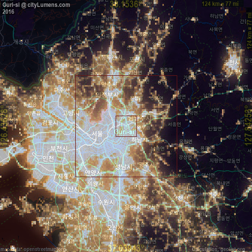
Analysis of Guri-si night lights 2016
Square area 10x10 km:
 36.39%
90-99
37.07%80-89
21.26%70-79
5.27%60-69
0%50-59
0%40-49
0%30-39
0%20-29
0%10-19
0%0-9
0%Square area 50x50 km:
22.07%90-99
14.11%80-89
8.26%70-79
8.73%60-69
8.25%50-59
7.12%40-49
5.92%30-39
5.91%20-29
5.74%10-19
5.41%0-9
8.47%Clear (daylight) street map image can be seen on geolist.org.
Map coordinates:
38° 9' 13" North, 126° 26' 10.6" East
37° 35' 55" North, 127° 8' 21.8" East
37° 2' 21.9" North, 127° 50' 33.1" East
Some cities around Guri-si sort by population:
• Seoul
14.6 km =9.1 mi,  255°
255°
• Seongnam-si
17.8 km =11.1 mi,  180°
180°
• Uijeongbu-si
17.8 km =11.1 mi,  332°
332°
• Hanam
8.7 km =5.4 mi,  138°
138°
• Hwado
16 km =9.9 mi,  67°
67°
• Wabu
7.2 km =4.5 mi,  97°
97°
• Namyangju
7.8 km =4.8 mi,  57°
57°
• Yongsan-dong
15 km =9.3 mi,  246°
246°
1841988 (p: 195,236)
Sources (retrieved 2019-11-25):
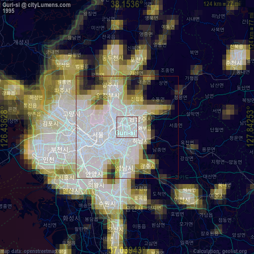
» NASA, Earths city lights 1995
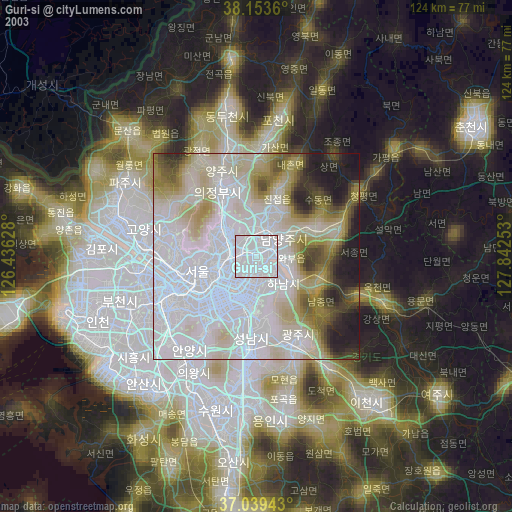
» NASA city lights 2003
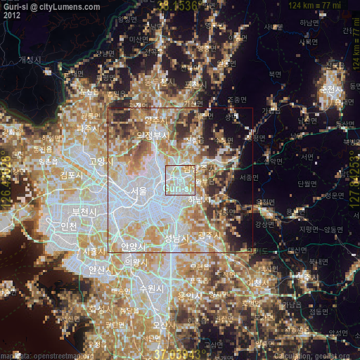
» Earth at Night: Flat Maps 2012, 2016