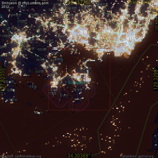
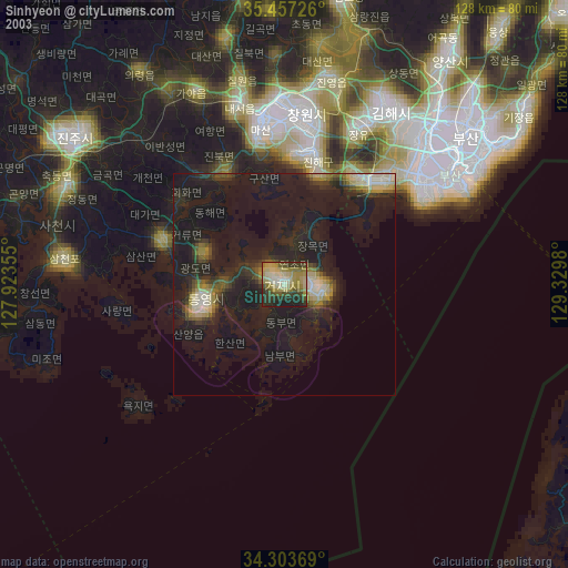
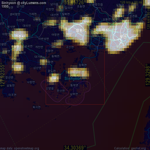
Sinhyeon night lights from space
Night Light of Sinhyeon (Gyeongsangnam-do) from space (South Korea) Src. Average luminocity for 10x10km area is 56.0769% and for 50x50km: 15.8071%.
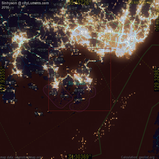
Analysis of Sinhyeon night lights 2016
Square area 10x10 km:
 8.06%
8.06%90-99
14.1%80-89
6.59%70-79
6.96%60-69
9.16%50-59
7.33%40-49
8.97%30-39
11.54%20-29
20.88%10-19
6.41%0-9
0%Square area 50x50 km:
1.73%90-99
2.78%80-89
1.47%70-79
1.54%60-69
1.76%50-59
2.25%40-49
1.95%30-39
3.33%20-29
6.03%10-19
15.02%0-9
62.14%Clear (daylight) street map image can be seen on geolist.org.
Map coordinates:
35° 27' 26.1" North, 127° 55' 24.8" East
34° 52' 57" North, 128° 37' 36" East
34° 18' 13.3" North, 129° 19' 47.3" East
Some cities around Sinhyeon sort by population:
• Busan
44.1 km =27.4 mi,  56°
56°
• Changwon
38.7 km =24 mi,  7°
7°
• Kimhae
45.4 km =28.2 mi,  30°
30°
• Chinju
60.2 km =37.4 mi,  304°
304°
• Naesŏ
42 km =26.1 mi,  346°
346°
• Kyosai
5 km =3.1 mi,  224°
224°
• Yangsan
63.1 km =39.2 mi,  35°
35°
• Goseong
29.5 km =18.3 mi,  290°
290°
1882056 (p: 82,560)
Sources (retrieved 2019-11-25):
» NASA, Earths city lights 1995
» NASA city lights 2003
» Earth at Night: Flat Maps 2012, 2016