Chinju night lights from space
Night Light of Chinju (Gyeongsangnam-do) from space (South Korea) Src. Average luminocity for 10x10km area is 68.0387% and for 50x50km: 13.5692%.
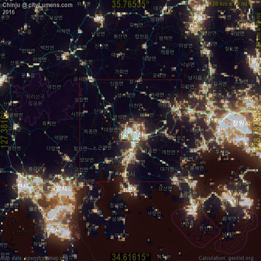
Analysis of Chinju night lights 2016
Square area 10x10 km:
 15.32%
90-99
21.55%80-89
6.57%70-79
8.75%60-69
9.43%50-59
9.6%40-49
7.41%30-39
7.07%20-29
8.92%10-19
5.22%0-9
0.17%Square area 50x50 km:
1.02%90-99
2.4%80-89
1.35%70-79
1.41%60-69
2.01%50-59
1.96%40-49
2.15%30-39
2.92%20-29
4.46%10-19
9.94%0-9
70.39%Clear (daylight) street map image can be seen on geolist.org.
Map coordinates:
35° 45' 55.3" North, 127° 22' 53.8" East
35° 11' 34" North, 128° 5' 5" East
34° 36' 58.1" North, 128° 47' 16.3" East
Some cities around Chinju sort by population:
• Changwon
54.3 km =33.7 mi,  85°
85°
• Kwangyang
51.2 km =31.8 mi,  241°
241°
• Sinhyeon
60.2 km =37.4 mi,  124°
124°
• Naesŏ
40 km =24.9 mi,  80°
80°
• Changnyeong
53.7 km =33.4 mi,  43°
43°
• Kyosai
59.6 km =37 mi,  129°
129°
• Kurye
56.4 km =35 mi,  271°
271°
• Goseong
32.4 km =20.1 mi,  137°
137°
1846052 (p: 307,242)
Sources (retrieved 2019-11-25):
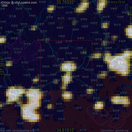
» NASA, Earths city lights 1995
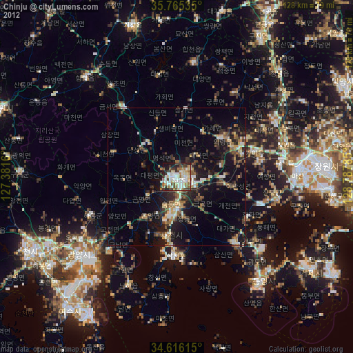
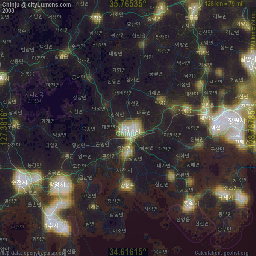
» NASA city lights 2003
» Earth at Night: Flat Maps 2012, 2016