Changwon night lights from space
Night Light of Changwon (Gyeongsangnam-do) from space (South Korea) Src. Average luminocity for 10x10km area is 85.7937% and for 50x50km: 43.8204%.
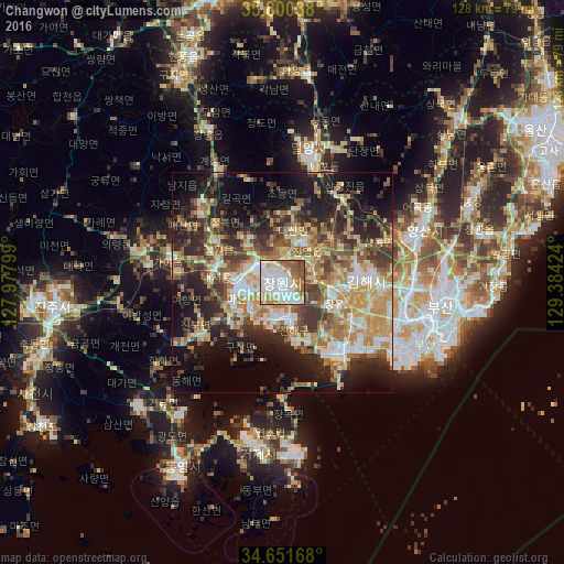
Analysis of Changwon night lights 2016
Square area 10x10 km:
 33.04%
90-99
27.1%80-89
7.69%70-79
10.31%60-69
8.92%50-59
10.49%40-49
2.45%30-39
0%20-29
0%10-19
0%0-9
0%Square area 50x50 km:
5.59%90-99
8.38%80-89
5.71%70-79
8.39%60-69
6.97%50-59
7.15%40-49
5.86%30-39
8.16%20-29
10.4%10-19
14.65%0-9
18.74%Clear (daylight) street map image can be seen on geolist.org.
Map coordinates:
35° 48' 1.4" North, 127° 58' 40.8" East
35° 13' 41" North, 128° 40' 52" East
34° 39' 6" North, 129° 23' 3.3" East
Some cities around Changwon sort by population:
• Busan
34.7 km =21.6 mi,  113°
113°
• Kimhae
18.2 km =11.3 mi,  87°
87°
• Sinhyeon
38.7 km =24 mi,  187°
187°
• Naesŏ
14.8 km =9.2 mi,  279°
279°
• Kyosai
42.8 km =26.6 mi, 191°
• Yangsan
34.4 km =21.4 mi,  68°
68°
• Miryang
30.1 km =18.7 mi,  11°
11°
• Goseong
42.9 km =26.7 mi,  229°
229°
1846326 (p: 550,000)
Sources (retrieved 2019-11-25):
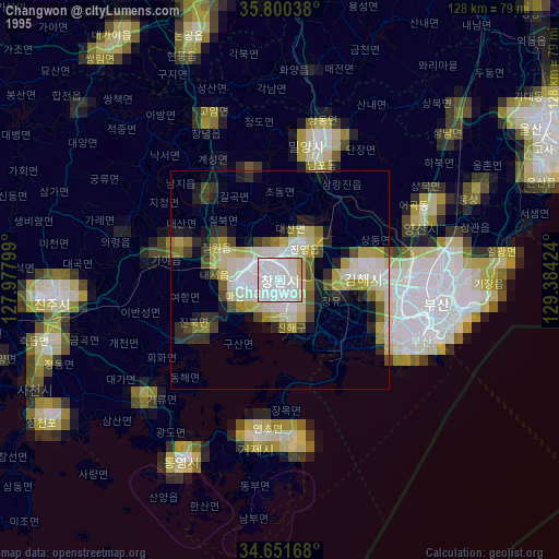
» NASA, Earths city lights 1995
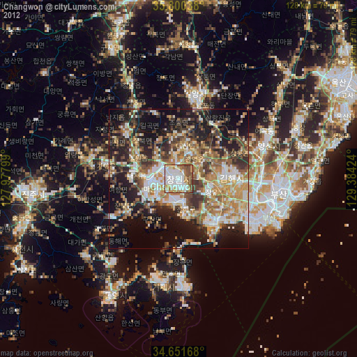
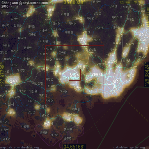
» NASA city lights 2003
» Earth at Night: Flat Maps 2012, 2016