Gwangju night lights from space
Night Light of Gwangju from space (South Korea) Src. Average luminocity for 10x10km area is 87.2325% and for 50x50km: 26.3874%.
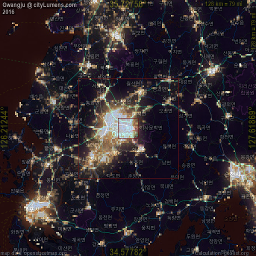
Analysis of Gwangju night lights 2016
Square area 10x10 km:
 47.9%
47.9%90-99
21.5%80-89
5.94%70-79
4.2%60-69
4.9%50-59
6.99%40-49
4.55%30-39
2.62%20-29
1.4%10-19
0%0-9
0%Square area 50x50 km:
4.63%90-99
4.57%80-89
2.83%70-79
2.68%60-69
3.88%50-59
4.59%40-49
4.01%30-39
5.27%20-29
6.64%10-19
11.38%0-9
49.51%Clear (daylight) street map image can be seen on geolist.org.
Map coordinates:
35° 43' 39.2" North, 126° 12' 44.8" East
35° 9' 17" North, 126° 54' 56" East
34° 34' 40.2" North, 127° 37' 7.3" East
Some cities around Gwangju sort by population:
• Masan
8.2 km =5.1 mi,  248°
248°
• Jeongeup
49.5 km =30.8 mi,  0°
0°
• Muan
43.7 km =27.2 mi, 245°
• Koch'ang
36.6 km =22.7 mi,  327°
327°
• Hwasun
12.3 km =7.6 mi,  147°
147°
• Yeongam
44.1 km =27.4 mi,  206°
206°
• Naju
22.8 km =14.2 mi,  232°
232°
• Yeonggwang
39.2 km =24.4 mi,  290°
290°
1841811 (p: 1,416,938)
Sources (retrieved 2019-11-25):
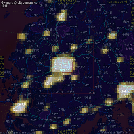
» NASA, Earths city lights 1995
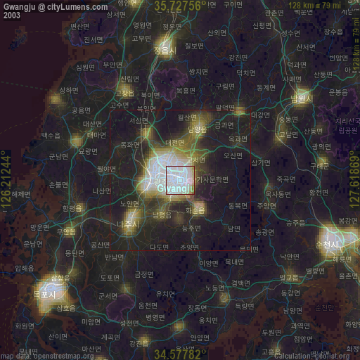
» NASA city lights 2003
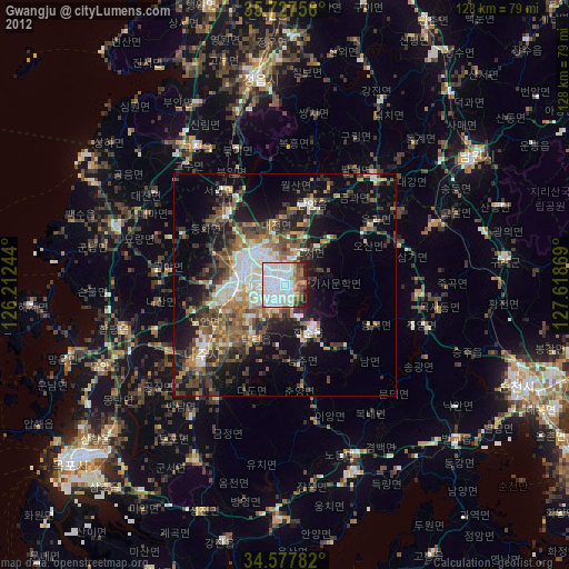
» Earth at Night: Flat Maps 2012, 2016