Changnyeong night lights from space
Night Light of Changnyeong (Gyeongsangnam-do) from space (South Korea) Src. Average luminocity for 10x10km area is 21.0037% and for 50x50km: 18.214%.
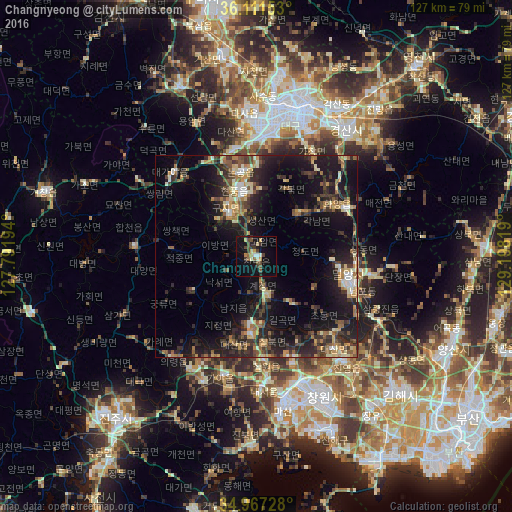
Analysis of Changnyeong night lights 2016
Square area 10x10 km:
 0.92%
0.92%90-99
2.38%80-89
2.56%70-79
3.11%60-69
2.38%50-59
2.75%40-49
5.68%30-39
4.4%20-29
2.75%10-19
24.18%0-9
48.9%Square area 50x50 km:
0.79%90-99
2.44%80-89
1.98%70-79
2.68%60-69
2.41%50-59
2.75%40-49
2.88%30-39
4.71%20-29
7.46%10-19
16.58%0-9
55.32%Clear (daylight) street map image can be seen on geolist.org.
Map coordinates:
36° 6' 41.5" North, 127° 47' 31" East
35° 32' 29.2" North, 128° 29' 42.2" East
34° 58' 2.2" North, 129° 11' 53.5" East
Some cities around Changnyeong sort by population:
• Daegu
37.6 km =23.4 mi,  13°
13°
• Kimhae
48.9 km =30.4 mi,  134°
134°
• Gyeongsan-si
38.2 km =23.7 mi,  34°
34°
• Naesŏ
32.5 km =20.2 mi,  176°
176°
• Hwawŏn
28.9 km =18 mi,  1°
1°
• Miryang
23.6 km =14.7 mi,  103°
103°
• Hayang
50.7 km =31.5 mi,  35°
35°
• Waegwan
50.9 km =31.6 mi,  350°
350°
6903078 (p: 74,668)
Sources (retrieved 2019-11-25):
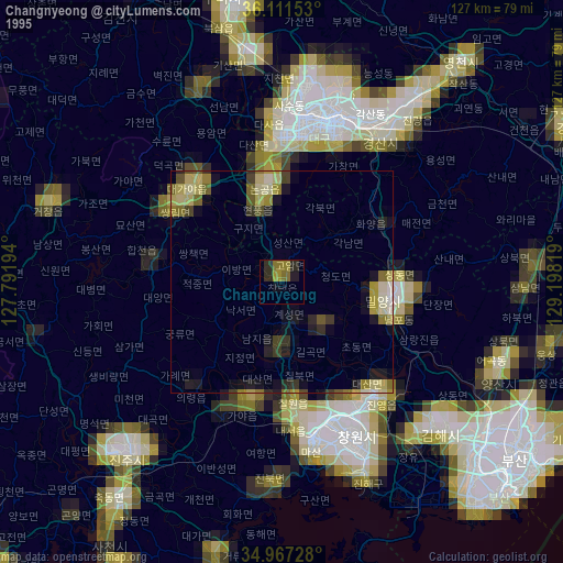
» NASA, Earths city lights 1995
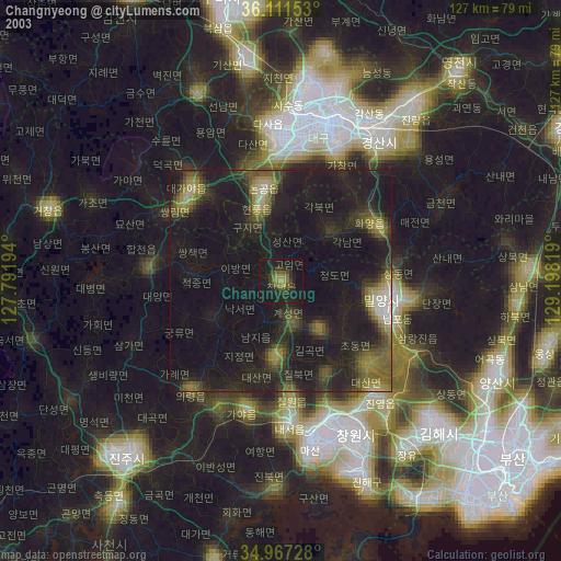
» NASA city lights 2003
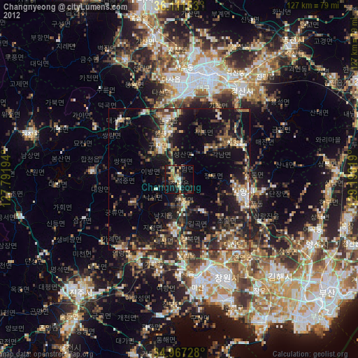
» Earth at Night: Flat Maps 2012, 2016